The United Nations World Meteorological Organization recognized the value of the bird’s eye view provided by satellite-based images of the Earth to better understand and address key global issues such as food security, water scarcity and agricultural sustainability.
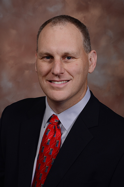
Brian Wardlow, director of the Center for Advanced Land Management Information Technologies in the School of Natural Resources at the University of Nebraska-Lincoln, was selected by WMO to be the global co-chair for the WMO’s Task Team on the Use of Remote Sensing Data for Climate Monitoring. The team six international experts is tasked with better understanding how new types of satellite information can be best applied for climate and hydrologic applications addressing these global issues.
“Satellite remote sensing has seen a rapid development of new types of spaceborne sensors providing unprecedented views of Earth’s land, atmosphere and oceans,” Wardlow said, “with new capabilities to map and monitor vegetation health, precipitation, evapotranspiration, soil moisture and even lightning.” It has resulted in a wealth of new information available to decision makers to use for applications such as drought monitoring, water resource management, energy production, agricultural assessments and public policy.
“This an exciting time to be in the field of satellite remote sensing as new cutting-edge science and innovative methods are always emerging providing new insights into climate-water-land interactions,” he said.
The WMO task team was assembled to sort through these new remote sensing options and provide decision makers with guidance on the suitability and best practices of using the resulting information for climate and water-related services. “We’re bridging the gap between science and practical application,” Wardlow said, “by establishing standards and demonstrating how scientific data can be turned into actionable information that is useful for decision makers tackling difficult environmental and societal issues in many regions of the world.”
Wardlow was tapped to co-chair this effort based on his recognized expertise in the remote sensing of drought and connecting cutting-edge science and methods to drought monitoring systems and decision making activities throughout the world. To date, he has collaborated with scientists from eight countries and worked with several international organizations including the UN Food and Agriculture Organization, World Bank and WMO. He has also co-edited the first book on this topic, which is used a primary reference for remote sensing scientists and drought experts throughout the world, and hosted seven international scientists and students for technical training.
“I have been fortunate to work with some the leading scientists in the remote sensing and drought communities to investigate a range of water, agriculture and natural resource issues related to drought,” Wardlow said. He has been a part of several million dollars in grant awards to advance the science and application of satellite remote sensing for drought monitoring involving scientists at NASA, NOAA, and USGS and several universities and international organizations. The work has ranged from basic research to develop new methods such as the Vegetation Drought Response to applied research connecting innovative new approaches such as the Evaporative Stress Index developed by USDA scientists to key drought monitoring tools such as the U.S. Drought Monitor.
“The lessons learned from this work can be used by WMO partners to better utilize these new satellite products for a variety of real-world decision making activities related to climate, water, and agricultural production,” Wardlow said.
It’s why the WMO Task Force wanted Wardlow and the Task Force team he leads to make recommendations on how to best use remote-sensing data when making climate-based decisions. Prove the data works, see it widely used and set a standard for the future.
Natural Resources