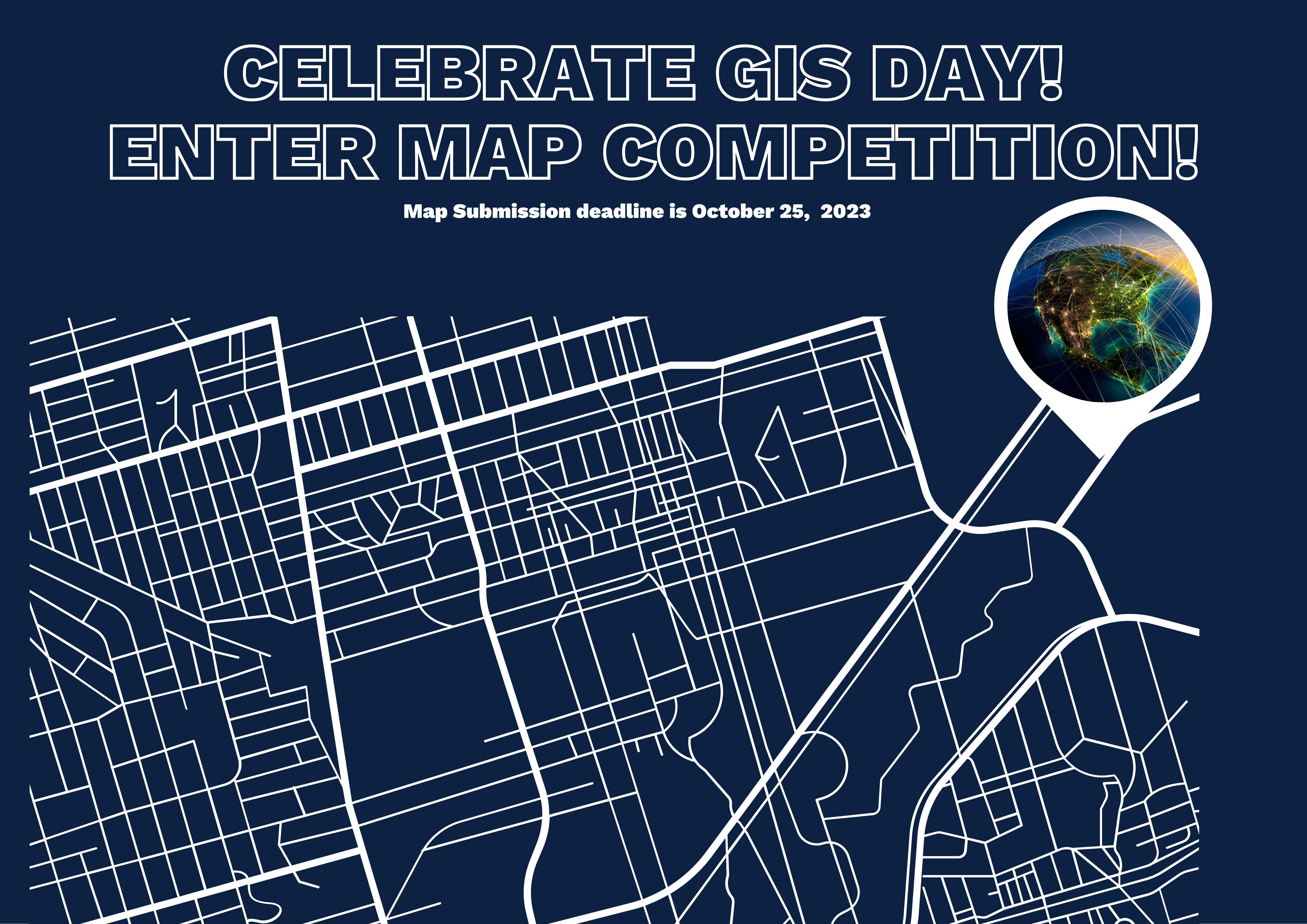
Calling all students who love or use maps! Design a map using publicly available data or your original datasets and any software of your choice. Enter the map in celebration of Geographic Information System (GIS) Day (November 15), sponsored by University Libraries. No specialized GIS skills or GIS software is required to enter the competition and all Nebraska students (undergrad & graduate) are welcome to enter their map to try to win one of three gift cards.
The deadline to submit your map is October 25. All maps entered in the competition will be posted online and judged by a select group of faculty and staff. Competition finalists will have their maps on display in Love Library (Nov. 13-17). A reception is being planned.
Read the full details of the competition & how to submit your map at https://go.unl.edu/unlgisday
Prizes for the competition include:
• 1st place winner -- $50 gift card
• 2nd place winner -- $25 gift card
• People's Choice winner -- $25 gift card
Wenjie Wang, Geospatial Data and Programs Librarian and assistant professor, is organizing the event and says that the GIS Day Map Competition aims to foster a deeper appreciation for GIS, encourage spatial thinking, and showcase the power of maps in understanding our complex world.
“Students will have the opportunity to showcase their creativity and analytical skills by creating innovative and informative maps that highlight various aspects of our world or even fictional realms,” Wang explained.
The GIS Day Map Competition is designed to be accessible and inclusive, welcoming participants of all skill levels, including those with no prior GIS experience. This competition is an opportunity for students from any background to engage with data and map-making.
Participants can use publicly available data or their original datasets. Proper attribution and data sources must be provided. Participants can use any software of their choice to create their maps. E.g., ArcGIS Pro, ArcMap, QGIS, AutoCAD, Adobe Illustrator, Photoshop, and many other non-GIS software.
More information: https://go.unl.edu/unlgisday
More details at: https://go.unl.edu/unlgisday