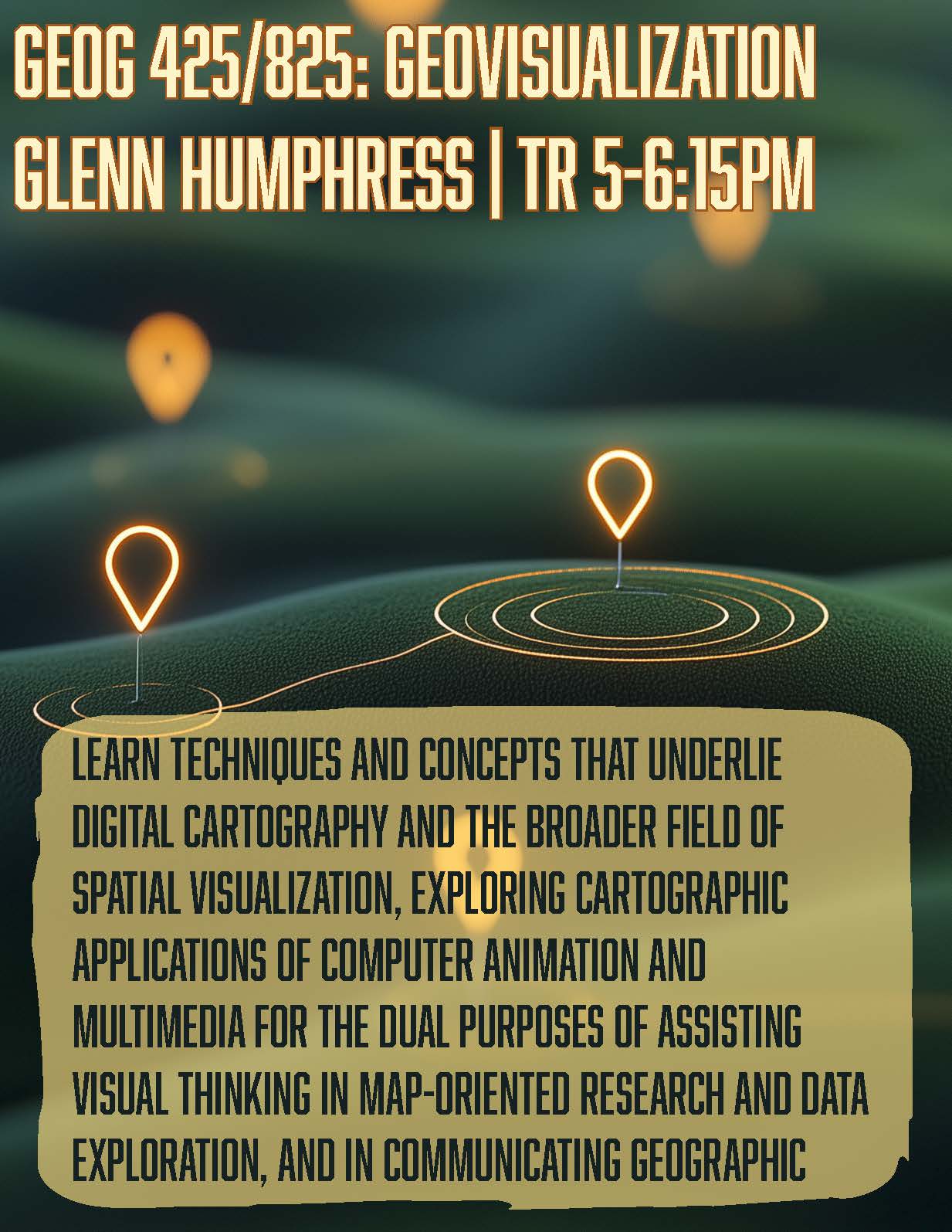
Geovisualization encompasses the techniques and concepts that underlie digital cartography and the broader field of spatial visualization, exploring cartographic applications of computer animation and multimedia for the dual purposes of assisting visual thinking in map-oriented research and data exploration, and in communicating geographic ideas to others.
Pre-req: Geog 217