By Ronica Stromberg
Ran Wang introduced drones into his spatial science courses this semester, and he and students found a new use for them, taking a selfie from the sky.
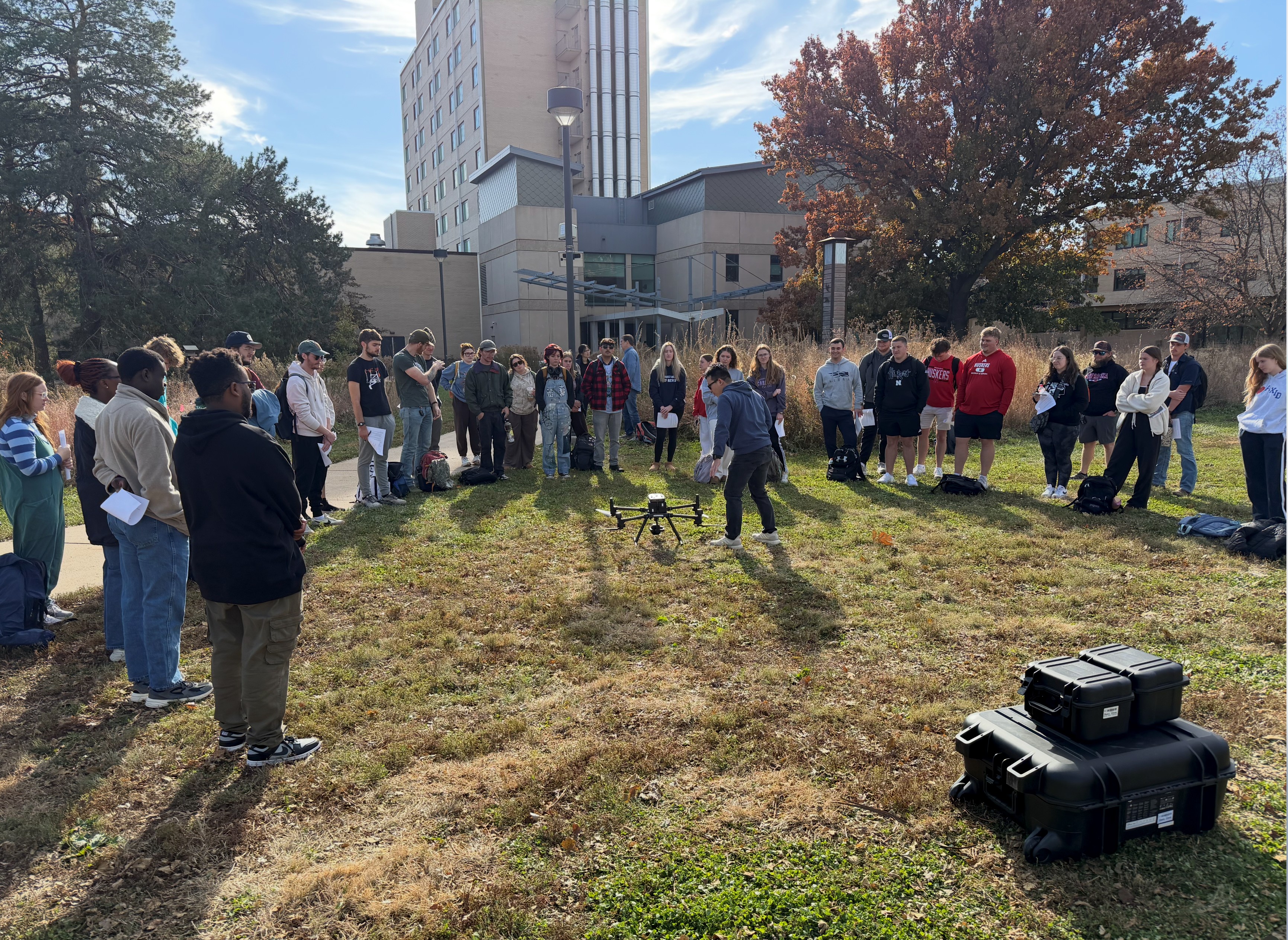
Wang, an assistant professor in the School of Natural Resources, and Biquan Zhao, a postdoctoral research associate in the Department of Animal Science, showed about 30 students from the Introduction to Geospatial Technology (NRES 218) class and the GIS for Agriculture and Natural Resources (NRES 415) class how to plan a flight on the monitor of a DJI drone. They then attached a high-resolution camera to the drone and collected image data—including themselves—from the backyard of Hardin Hall.
They attached a lidar sensor to a drone and showed the students how the drone monitor displayed trees and structures as holographs. Lidar sensors shoot lasers to the ground and the time it takes for lasers to reflect back allows the drone to measure the 3D structure of targets on the ground.
In follow-up classes, Zhao visited the introductory class to tell how he used drones for research in Nebraska grasslands, and in a lab exercise, students worked with the data the drone collected.
See the "Drone Class Selfie" and student comments about the class at https://snr.unl.edu/aboutus/what/newstory.aspx?fid=1301