Several organizations on local and state levels are pooling effort and money, along with additional funding from the Nebraska Environmental Trust, in a project designed to improve understanding of groundwater hydrogeology in the Nebraska Panhandle by collecting and digitizing decades’ worth of data from thousands of oil and gas well logs.
The well log information will be combined with other, existing data to give scientists and resources agencies a more detailed understanding of the High Plains Aquifer system in western Nebraska.
As a result, natural resources districts (NRDs) will know more about the quantity of groundwater stored in aquifers. Groundwater management decisions will be based on improved computer models. And the Nebraska Oil and Gas Conservation Commission will know to what depth casing needs to be installed in new wells to protect underground supplies of water for drinking, irrigation and other uses.
Partner agencies in the project include the South Platte NRD at Sidney, North Platte NRD at Scottsbluff, Twin Platte NRD at North Platte, Nebraska Oil and Gas Conservation Commission at Sidney and the University of Nebraska-Lincoln Conservation and Survey Division (CSD).
The $700,000 project is in its second year of three planned years. The Nebraska Environmental Trust is providing $400,000, including $200,000 this upcoming year. The other sponsors are providing cash and in-kind services for the remainder of the cost. The Environmental Trust gave preliminary approval to second-year funding at its February meeting, with final approval scheduled to take place in April.
The project will improve several existing groundwater modeling efforts, including the Western Water Use Management Model used by the two western NRDs, and the COHYST model, a larger-scale program that extends into central Nebraska. COHYST was created as part of the Platte River Recovery Implementation Program.
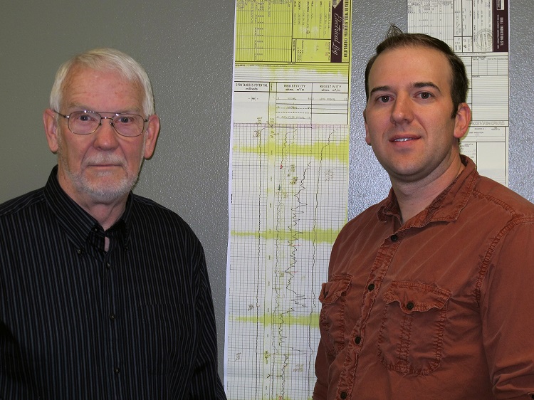
Steve Sibray, Scottsbluff-based geoscientist with CSD, explained that the project will provide for the digital scanning of more than 10,000 geologic logs from oil and gas wells that are, in many cases, decades old. They are stored in CSD archives in Lincoln.
There are 20,814 oil and gas wells in Nebraska and the sponsoring agencies estimate that 2,300 of those wells have geologic and hydrogeologic data that is readily available within the project area. The counties in the area include southern Sioux, Scotts Bluff, Banner, Morrill, Garden, Kimball, Cheyenne, Deuel, Keith, Lincoln, Arthur and McPherson.
The three NRDs will all contribute cash, based on the number of oil and gas wells in each district: SPNRD has the most, followed by NPNRD and TPNRD, respectively. CSD will provide in-kind time for geologic expertise to the project. CSD personnel include Sibray in Scottsbluff and Doug Hallum in North Platte.
Adaptive Resources Inc. (ARI), a consultant to NRDs, will manage the data and use it to perform mapping and other tasks. Conservation and Survey is advising ARI, working on piecing together geologic cross sections from the various data sources.
"We put the geological picture together — put the cross sections together," Sibray said. Current cross sections were generated from number of data sources from research conducted over the years, including Conservation and Survey test holes (for which digital data already exists) and aerial geophysics data acquired in recent years from flights over the Panhandle.
Thad Kuntz of Adaptive Resources is contracted to complete the project and is responsible for overall project management. Kuntz is the Principal Hydrogeologist for Adaptive Resources located in Scottsbluff. ARI will be completing oil and gas geophysical log data management of about 14,500 logs, geologic data interpretation of these oil and gas geophysical logs for determination of base of the High Plains Aquifer (Ogallala and Arikaree Formations), creation of a base of aquifer structural contour map, presentations of project, and completion of professional papers outlining the project.
The Nebraska Oil and Gas Conservation Commission is providing labor, scanning hardware, and database software to scan and house the available full-scale logs of oil and gas wells, according to Commission Executive Director William Sydow. Besides making the images available for future use by the interested public, industry, and other agencies, the Commission will utilize these logs as they evaluate and protect groundwater resources prior to approving new well permits and plugging and abandonment procedures, according to Sydow.
Since July 2013, the Commission has scanned logs on nearly 8,500 wells in Cheyenne and Kimball Counties.
The oil well logs and CSD test holes will provide "ground-truthed" data from individual points. The airborne data will allow the scientists to interpolate what lies between those points — to construct higher-resolution geologic cross sections of the area between known points. According to ARI's Kuntz, confidence in the regional groundwater models will be greatly enhanced by this additional information.
Sibray said the integrated cross-sections will give scientists a better idea of the base of the High Plains Aquifer System. "For the groundwater modelers, saturated thickness is a big deal — knowing how much aquifer is there and how it transmits water. That's the main benefit for NRDs," he said. "For the Oil and Gas Commission, it will provide a much clearer picture of where to set surface casing to protect the drinking water layers."
Between the shallower aquifers that supply water for drinking and irrigation and the deeper layers that are mined for oil and gas, there are usually thousands of feet of geologic layers, Sibray said.
— Dave Ostdiek, Panhandle Research and Extension Center