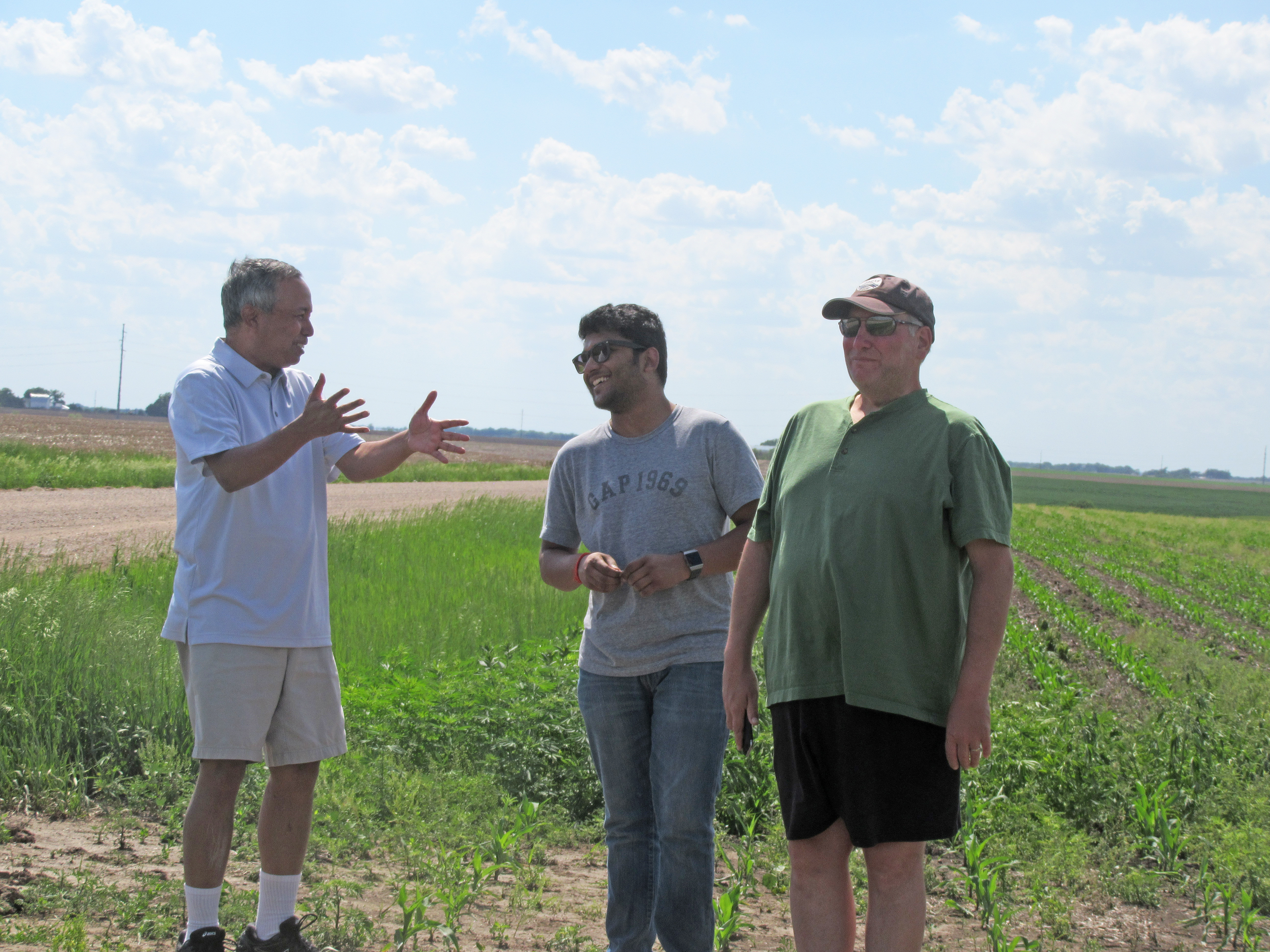
A national team led by the University of Nebraska-Lincoln is studying potential links between irrigation, cloud formation and rainfall.
Funded by the National Science Foundation, the Great Plains Irrigation Experiment — or GRAINEX — is gathering weather observations in June and July from a 3,600-square-mile region in southeastern Nebraska. The timing allows the team to better understand how irrigation may affect climate conditions at the start of irrigation season in June through late-July when it peaks.
"The study area includes transition from extensively irrigated areas to dry land or non-irrigated areas," said Rezaul Mahmood, lead researcher and director of Nebraska's High Plains Regional Climate Center at the School of Natural Resources. "In other words, the experimental setting provides a unique opportunity to investigate the influence of these two noticeably different land surface and land cover side-by-side."
Ultimately, results of the study will be used to better inform agricultural planning and weather forecasting in the United States and around the world.
What science already has proven is that widespread global irrigation is adding significant amounts of water to the land surface and is altering regional land use and land cover. Researchers know these changes can affect local and regional weather development, including cloud formation and therefore rainfall. But the link hasn’t been fully fleshed out.
“Prior studies have found that the Great Plains is a hotspot where soil moisture plays an important role in cloud formation and precipitation,” said Nick Anderson, a program director in the National Science Foundation’s Division of Atmospheric and Geospace Sciences, which funded the research. “Land use change and irrigation due to agricultural activities could be important factors affecting land-atmosphere interactions in this region.”
In May, the researchers from six partnering institutions — Nebraska, the Western Kentucky University, the University of Alabama at Huntsville, the University of Colorado Boulder, the National Center for Atmospheric Research, and the Center for Severe Weather Research — started collecting weather observations at five locations in the state.
They have deployed 80 temporary research-grade meteorological stations; are measuring the fluxes of water and energy from six irrigated and six non-irrigated locations; are gathering radar observations of the lower atmosphere, or Planetary Boundary Layer, from three locations; and are adding two surface-based locations capable of observing and collecting data on the daily evolution of the PBL. They also are sending up 600 weather balloons to collect data on the atmospheric pressure, temperature, humidity and wind speed every two daytime hours for 15 days starting July 16.
“Several times, I asked myself if I was asking for too much or trying to do too much,” Mahmood said, especially once he discovered the trucks hauling helium to the testing sites were too heavy to cross the rural route bridges. “But we want to do good science.”
All the data will later be analyzed and used beside modeled applications to determine if and how irrigation is affecting precipitation in the Great Plains. For modeling, the team will use NCAR’s supercomputing facility as well as the Holland Computing Center at Nebraska and computational facilities of WKU and UAH.
Researchers on the project include Udaysankar Nair of UAH, Eric Rappin of WKU, and Roger Pielke Sr. of CU Boulder, and the team is working closely with Nebraska State Climate Office, Nebraska Extension, and the State of Nebraska’s Natural Resource Districts in the study area.
The grant, earned earlier this year while Mahmood served as the associate director of the Kentucky Mesonet & Kentucky Climate Center at WKU, is in the process of being transferred to Nebraska.
Writers: Writers: Shawna Richter-Ryerson, Natural Resources; and Tommy Newton of WKU