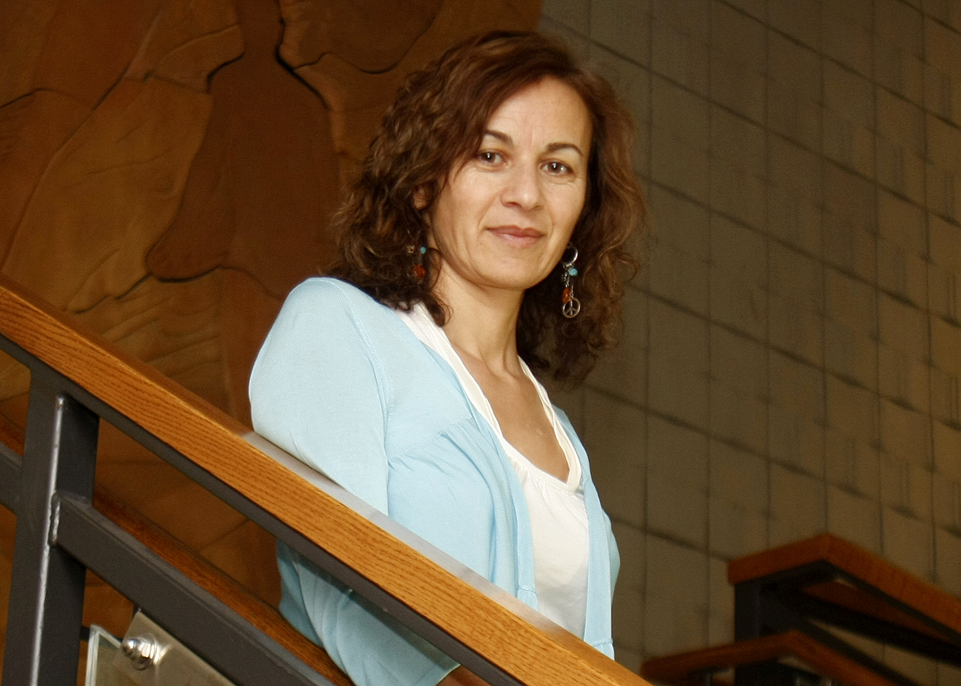
A UNL faculty member will join an elite international team of 25 scientists that will support NASA's new Landsat Data Continuity Mission Satellite or "Landsat 8."
Ayse Kilic, a UNL faculty member at the School of Natural Resources and in the Department of Civil Engineering, will serve a five-year term on the satellite project, using imagery and data to help track water in the air, in the ground and in plants.
"We need better tools, methods for sustaining our water resources and agricultural production under a changing climate," said Kilic, who was recently presented with an Excellence in Research award from the Agriculture Research Division of the Institute of Agriculture and Natural Resources.
Now in its 40th year, the Landsat program is a series of Earth-observing satellite missions jointly managed by NASA and the U.S. Geological Survey. Since 1972, Landsat satellites have collected imagery of Earth's continents and surrounding coastal regions, enabling researchers to study the planet and to evaluate the dynamic changes caused by both natural processes and human practices.
Landsat provides images used for agricultural, forestry, and coastal management; insect, fire, and storm damage assessments; and urban, transportation, and water resources planning. The data gathered by these satellites are also used in regional agriculture, climate, and ecosystem modeling studies.
Kilic and her UNL research team and students will further the development of algorithms and computer software to estimate water consumption from irrigated and natural vegetation over large land areas.
Kilic's work with Landsat 8 will focus on evapotranspiration — the process of water moving through the atmosphere as it evaporates from soil and water and transpires from plants. She will receive $270,000 from the U.S. Geological Survey to support her research activities related to Landsat Science Team membership.
"The unique thing about Landsat is you can see pixel-by-pixel what is going on in the field compared to those global scale satellites," Kilic said. "This is really the satellite that gives us field-level information, and that's what we need, especially here in Nebraska."