The High Plains Regional Climate Center quietly turned 30 this year, while it continued to collect and make available a host of climate data, organized and taught numerous climate training workshops and answered hundreds of consumer calls.
The center didn’t pause to celebrate.
Instead, it continued to crank out the products it has become best-known for — climate maps, with a rainbow-colored scale, that stand as a record of climate conditions of the recent past — all while continuing to have an eye on its future.
“The nature of climate services has really changed since we were established in 1987,” said Natalie Umphlett, HPRCC interim director. “We had a larger research mission when we started. Now we focus more on engagement and product development with our partners and for our stakeholders.”
“Our stakeholders are making decisions using climate data, so a major focus for us is to figure out how to best help them do that,” added Crystal Stiles, applied climatologist with the center.
The High Plains Regional Climate Center was one of three pilot centers created in response to the National Climate Program Act, passed by Congress in 1978. The act recognized a need for accurate, localized climate information to support government decision makers, but also stakeholders, such as Natural Resource Districts, watershed managers and even producers. The decision was partially driven by this one fact: Climate recognizes no political boundary.
And so, the High Plains Regional Climate Center was born. It covers a six-state region: Colorado, Kansas, Nebraska, North Dakota, South Dakota and Wyoming, and works in conjunction with the five other regional climate centers that serve the nation. All are supported by the National Oceanic and Atmospheric Administration.
In addition to its climate services, which make available climate data and information to the public, the center also develops and delivers products that turn raw climate data into usable information on local, regional and national scales. Familiar products include their precipitation and temperature maps, but also growing degree day maps that highlight when certain pests may be an issue for producers.
The center also hosts five agro-climate decision-support tools that were produced as part of the U2U project, a collaborative research effort funded by the U.S. Department of Agriculture, and it conducts research of its own as part of its role with the School of Natural Resources at the University of Nebraska-Lincoln. Research topics include, resilient cropping systems, drought planning, municipal climate adaptation and tribal climate resilience.
“Our customer base is large,” Umphlett said. It includes researchers, educators, nonprofit organizations, utility companies, insurance companies, media, engineers, and state, federal and tribal governments. In the past five years, the center has served applied climate data needs in every state in the nation and more than 20 countries and U.S. territories.
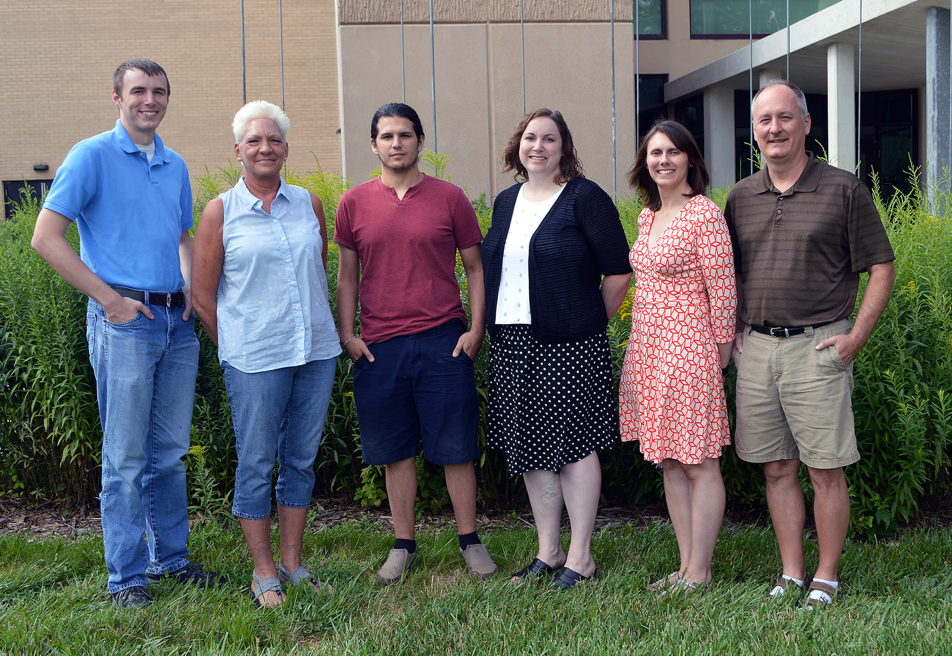
All with six employees, two of which have been with the center since the 1990s.
Despite its reach, the center is often overlooked as its primary function is to store and make climate data available to users. Yet its data helps inform the US Drought Monitor map and Nebraska Extension weather, climate and crop decisions.
But they aren’t in it for the glory. They’re in it to help fill a gap in stakeholder need, which is why they’ll continue interacting and engaging with stakeholders and continue developing new climate data products.
Hopefully for at least another 30 years.
Writer: Shawna Richter-Ryerson; the High Plains Regional Climate Center contributed to this report.
More details at: https://hprcc.unl.edu/