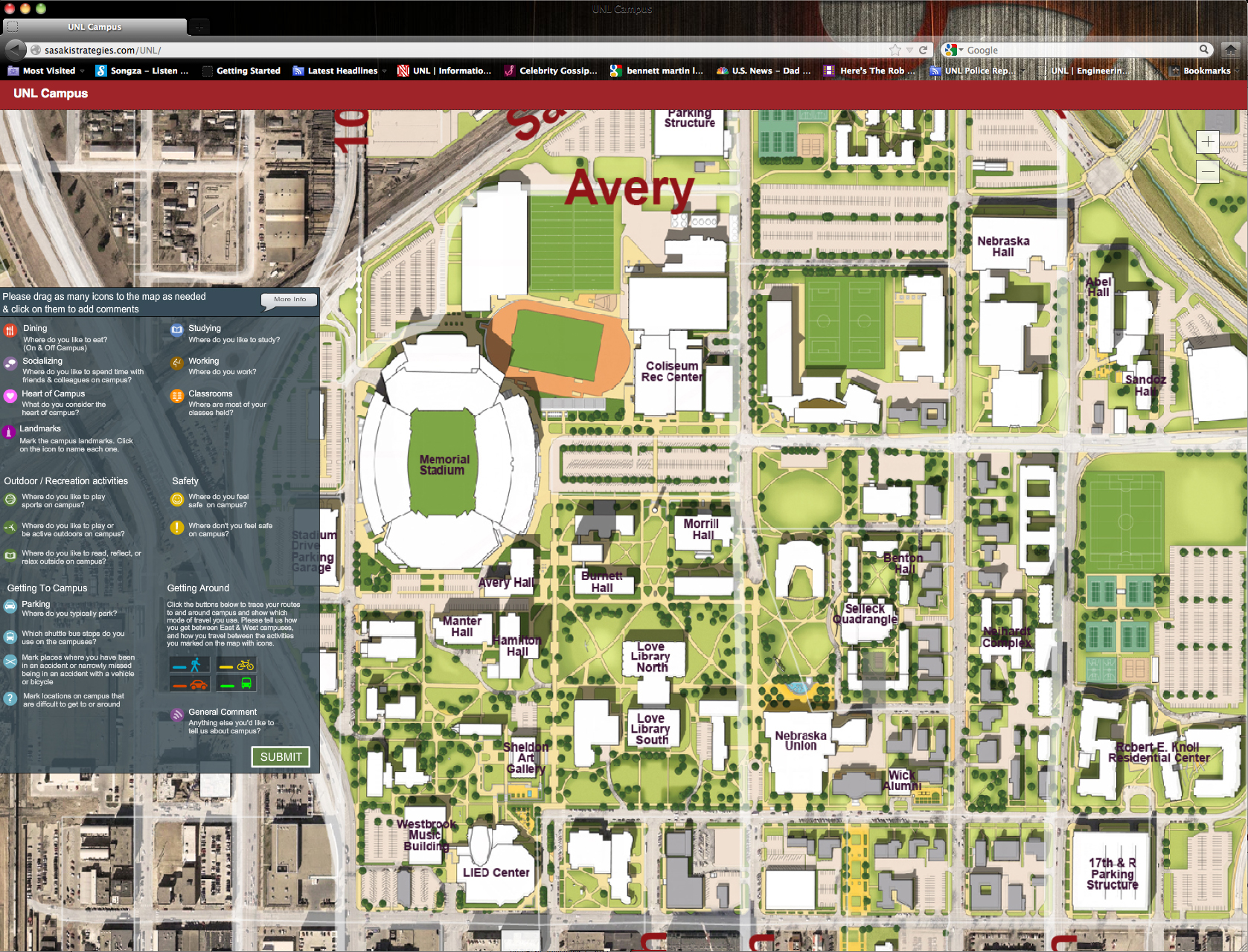
Information submitted through a new interactive, online mapping tool will be used to help shape UNL's new master physical and landscape master plans. The tool, available at http://sasakistrategies.com/UNL, is designed to allow individuals to enter specific information about their City and East campus habits.
“The interactive mapping tool allows people to enter information on a wide range of topics,” said Jennifer Dam, assistant director of campus planning and space management. “That information will be put graphically on a map and used by the consultants to get a sense of where people park, the routes they take across campus, places that people see as significant, etc.
“It will provide the consultants with a variety of information that they can use as they look at how to plan the campus for the future.”
The website allows individuals to identify important landmarks, areas they like to socialize, favorite outdoor recreation areas, preferred parking spaces, transportation routes, and campus areas where they do or do not feel safe.
The planning/design firm Sasaki Associates of Watertown, Mass., are leading the master plan project. The firm spent the summer gathering information about UNL. That information was presented during open houses on Sept. 12 and 13. Project leaders from Sasaki also collected additional information during those open house sessions.
The consultants will return to campus in October and/or November to present findings and gather additional information to finalize the plans. Final public presentations are planned for spring.
The plans will also be presented online for feedback in the fall.
Dam said campus administrators hope to have the plans ready for presentation to the University of Nebraska Board of Regents by late spring or early summer.
More details at: http://go.unl.edu/sasaki