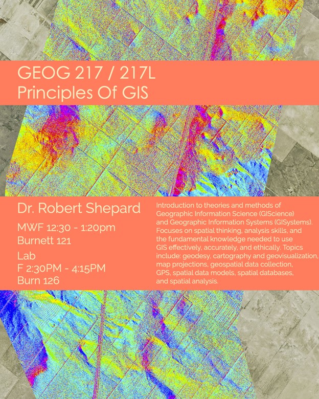
The purpose of this course is to introduce the theories and methods of Geographic Information Science (GIScience) and Geographic Information Systems (GISystems). The lectures will provide spatial thinking and analysis skills, as well as the fundamental basic knowledge and theory needed to use GISystems effectively, accurately, and ethically. The topics covered in this course will include, but are not limited to, geodesy, cartography and geovisualization, map projections, geospatial data collection, GPS, spatial data models, spatial databases, and spatial analysis. The course also includes lectures weekly lab sessions. Labs build on the concepts learned in lecture by applying increasingly complex geoprocessing techniques, and offer you opportunities to familiarize yourself with the software while interacting with other students. You should expect to spend an additional 2-6 hours of effort outside class time to complete associated readings and lab assignments.