contributed by Wenjie Wang, assistant professor, Research Partnerships, University Libraries
The University of Nebraska–Lincoln Libraries proudly celebrated GIS Day 2025 with an inspiring and engaging event that brought together students, faculty, staff, and community partners to explore the power of Geographic Information Systems (GIS). This year, we combined two of our most anticipated activities—the GIS Day event and the annual Map Competition—into one energetic gathering that highlighted creativity, research, and community impact.
Held on Monday, November 10th, in Peterson Room 221 of Love Library, the event welcomed attendees with colorful printed maps on display, interactive conversations, and an atmosphere full of curiosity and discovery.
Spotlight Presentation: Mapping Nebraska’s Farmers Markets
Our featured speaker, Pei-Ying Chen, Ph.D., Assistant Professor and Digital Scholarship & Sciences Research Specialist Librarian, delivered an engaging presentation titled “Exploring Nebraska’s Farmers Markets Using an R Shiny Dashboard.” Dr. Chen demonstrated how interactive dashboards can bring agricultural data to life—revealing patterns in local products, grower distribution, seasonal availability, and the relationships between Nebraska’s communities and their food systems. Her talk highlighted the power of visualization tools to tell compelling stories and support data-driven decision making.
Community-Centered Mapping: Healthy Food Access 2025
We were also honored to welcome Kurt J. Elder from the City of Lincoln, who shared the Healthy Food Access 2025 map. This important project identifies neighborhoods facing limited access to healthy and affordable food. The map supports initiatives such as Lincoln Fresh mobile distributions and school-based markets, helping city leaders and community partners better understand needs and target resources effectively. Elder’s contribution underscored how GIS is actively shaping public service and community well-being in Lincoln.
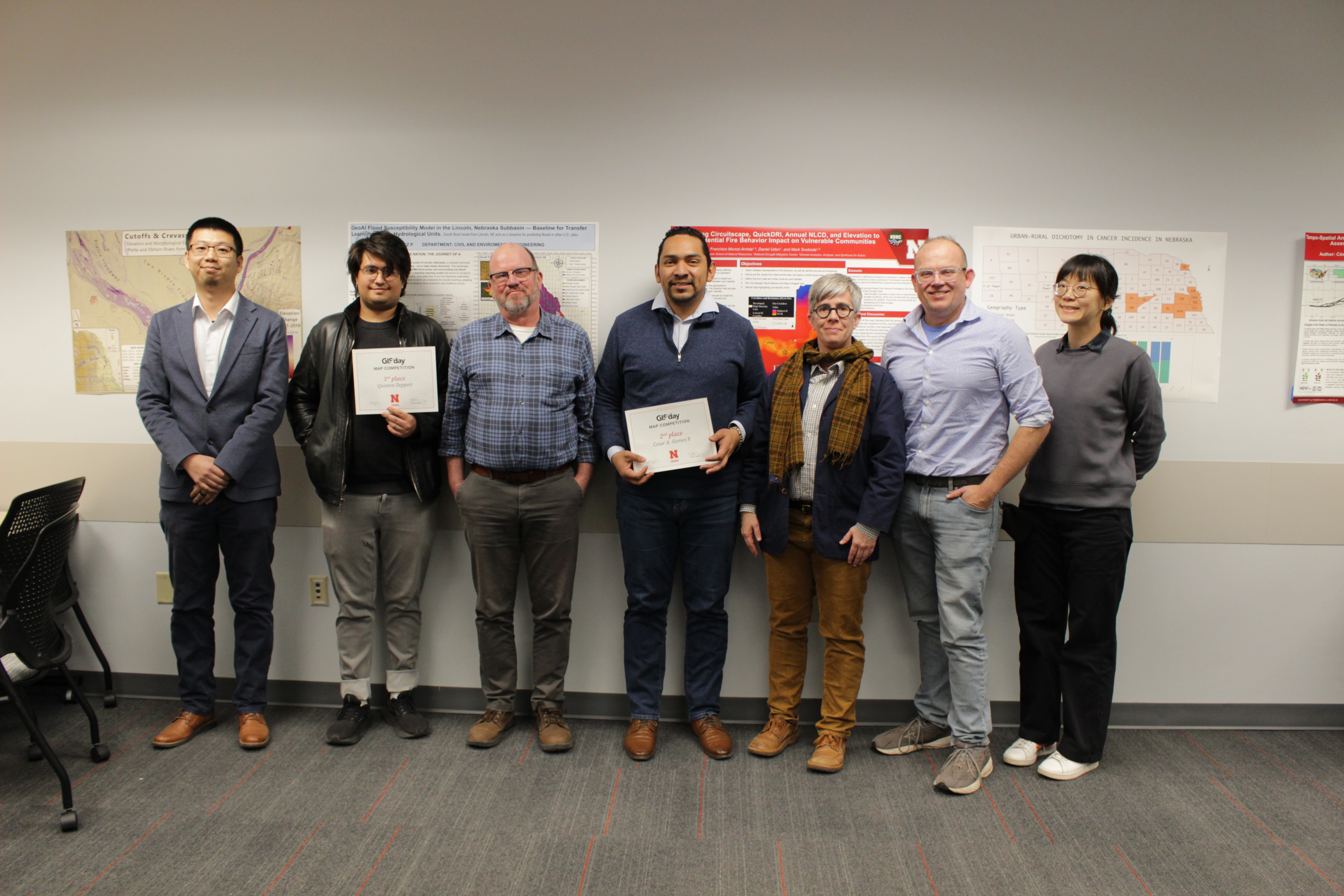
Celebrating the Map Competition
This year’s Map Competition entries—ranging from creative data storytelling projects to research visualizations—were displayed throughout the space. Guests had the opportunity to explore the maps, talk with creators, and celebrate the innovative ways the UNL community uses geospatial tools in their work.
First Place Winner: Adam Subora
Department: School of Natural Resources
Map title: Cutoffs & Crevasse Splay: Elevation and Morphological Evolution of the Platte and Elkhorn Rivers from 2011 to 2019
Second Place Winner: Cesar A. Gomez P.
Department: Civil and Environmental Engineering
Map Title: GeoAI Flood Susceptibility Model in the Lincoln, Nebraska Subbasin
Third Place Winner: Quinton Deppert
Department: School of Natural Resources
Map title: Wildfire Connectivity In Northwest Nebraska and Southwest South Dakota During the 2012 Flash Drought
Looking Ahead
GIS Day continues to grow at UNL, reflecting the university’s expanding interest in geospatial thinking and digital scholarship. We extend our sincere thanks to all presenters, participants, and attendees who made this year’s celebration a success. Whether you’re a seasoned GIS user or someone discovering it for the first time, we hope this event sparked new ideas and inspiration.
We look forward to seeing you at next year’s GIS Day!