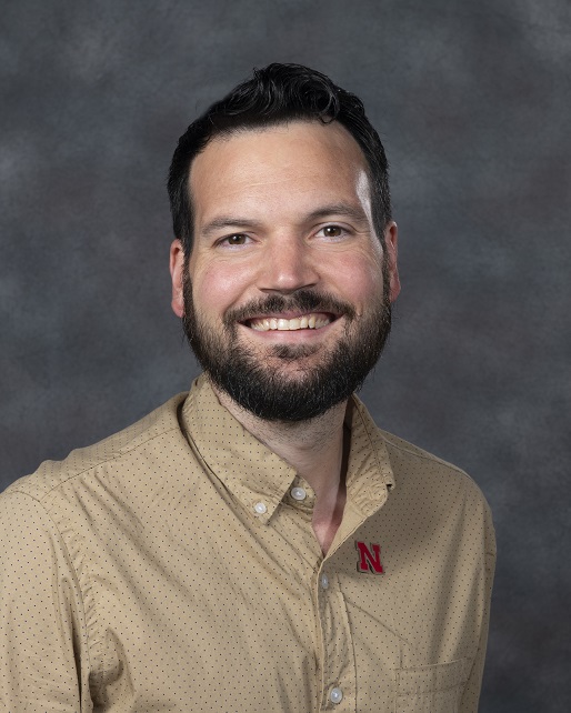
Name: Rob Shepard
Program: Geography
Specialization: Population Geography, Historical GIS, Geovisualization
Courses you are teaching this year:
GEOG 425/825: Geovisualization (Fall 2020); GEOG 441: Geographies of Health; GEOG 417/817: Web GIS (Spring 2021)
What is your favorite course to teach and why?
I like teaching web GIS because I have needed interactive cartography and coding skills in all of my geospatial jobs - from my first internship in the GIS Department at Peoria County, Illinois, to my last role as GIS Specialist & Librarian at University of Iowa. None of my coursework in college had specifically prepared me for that, so I spent a lot of time reading and talking to developers and figuring it all out on my own. I am able to take years of hands-on experience and real-world scenarios and translate them into meaningful classroom lessons and assignments. By the end of my class, students are able to create their own portfolio of interactive web maps from scratch, and seeing that development makes me confident they will be well prepared for the future.
How and/or why did you choose this field?
I think the field chose me! I always loved geography, but I was a political science major as an undergraduate (albeit a few credits short of minoring in human geography anyway, as I took a lot of electives in geography). After college, I worked in Chicago for a year, where I became very interested in urban/regional planning and I began thinking about how GIS would be a good skill in that field. I decided I wanted to go back to school to study some combination of planning and GIS, and I found a master's program that had a geography degree with specializations in planning and GIS. I applied and got in. As part of that geography master's program, all incoming students were required to take a "history and philosophy of geography" course that I found fascinating. I began to understand what it meant to do research in geography, and it just absolutely hooked me and made me want to stay in the field.
What are you currently researching?
Most recently, I am investigating the spatial dynamics of changes in economic activity across the Great Plains states as a response to the SARS-CoV-2 global pandemic (COVID-19). I'm using geolocated cell phone data to evaluate foot traffic to all businesses between February and July of this year, comparing it with the same period from last year. And even more specifically within that research, I am looking at the impact of COVID on food deserts in our region, particularly as reduced hours at many businesses have changed the spatiotemporal landscape of food accessibility. Unlike studies that try to generalize about shifts across entire industries or states, I am looking to see precisely where and how people have behaved differently, particularly as it varies across the northern Great Plains that never officially issued "stay-at-home" or "lockdown" orders for residents. I am presenting some preliminary findings next month at the Applied Geography conference. Then, on the historical population geography side of things, I am also (slowly) continuing to develop data for my Placing Segregation digital site (dsps.lib.uiowa.edu/placingsegregation). This summer, I organized a team of scholarly advisors to oversee subsequent development on the project as I look for funding to expand the effort to additional decades.
What are some ways students can be involved in your research?
There are a LOT of data involved in that first project I mentioned: I am looking at tens of thousands of point locations over two six-month periods, and each point has enormous amounts of associated information, everything from listing where people came from before they visited a store to the median time spent in a location. I think any students who are sincerely interested in exploring similar research questions would be able to collaborate on papers about findings. There is just so much potential in it!
On the historical project, I have been researching and geolocating tens of thousands of individuals in census records from the decades before censuses began including address information, using city directories and period advertisements to recreate historical street grids. It can be an arduous process to acquire and analyze those data, but I think there is an abundance of opportunity for students who consider themselves historical geographers, cultural anthropologists, sociologists, or urban historians to engage with this project by expanding the work to new cities and decades. Each step in this process closes the gap with other historical geography efforts that have geolocated census information for later years, such as the Urban Transition Project at Brown University, and it builds a more comprehensive understanding of how cities and microscale segregation developed. If you're at all interested in this historical GIS/historical mapping effort, I could point you to a lot of thesis and paper ideas.
Why should studnets major in your field? As a field, geography is diverse and flexible, and it is always relevant.
What do you enjoy doing outside of work (hobbies, other interests)?
I enjoy writing music, gardening, cooking, and trying to teach my old dog new tricks.