regional locations. This is a great opportunity for participants who are interested in practical applications of remote sensing and GIS, specifically in the field of Earth Science. Participants will work with NASA scientists, partner organizations, and science advisors to learn about the use of NASA Earth science data for use in water resources, disaster management, ecological conservation, and other applications to address environmental community concerns.
Responsibilities will include: literature review, data processing and analysis, and producing deliverables, such as a technical report, presentation, and video. Previous GIS or remote sensing knowledge, while beneficial, is not required for acceptance. This is a multi-disciplinary opportunity for all those interested in Earth science, and we encourage those in the social sciences, general science, engineering, computer science, etc. to apply.
Applicants must have excellent verbal and written communication skills and be able to work in a fast-paced, highly collaborative environment. Days of the week are flexible, but applicants should be able to commit to 20 – 29 hours per week during the term. The position is paid on an hourly basis that is determined by education level and working location.
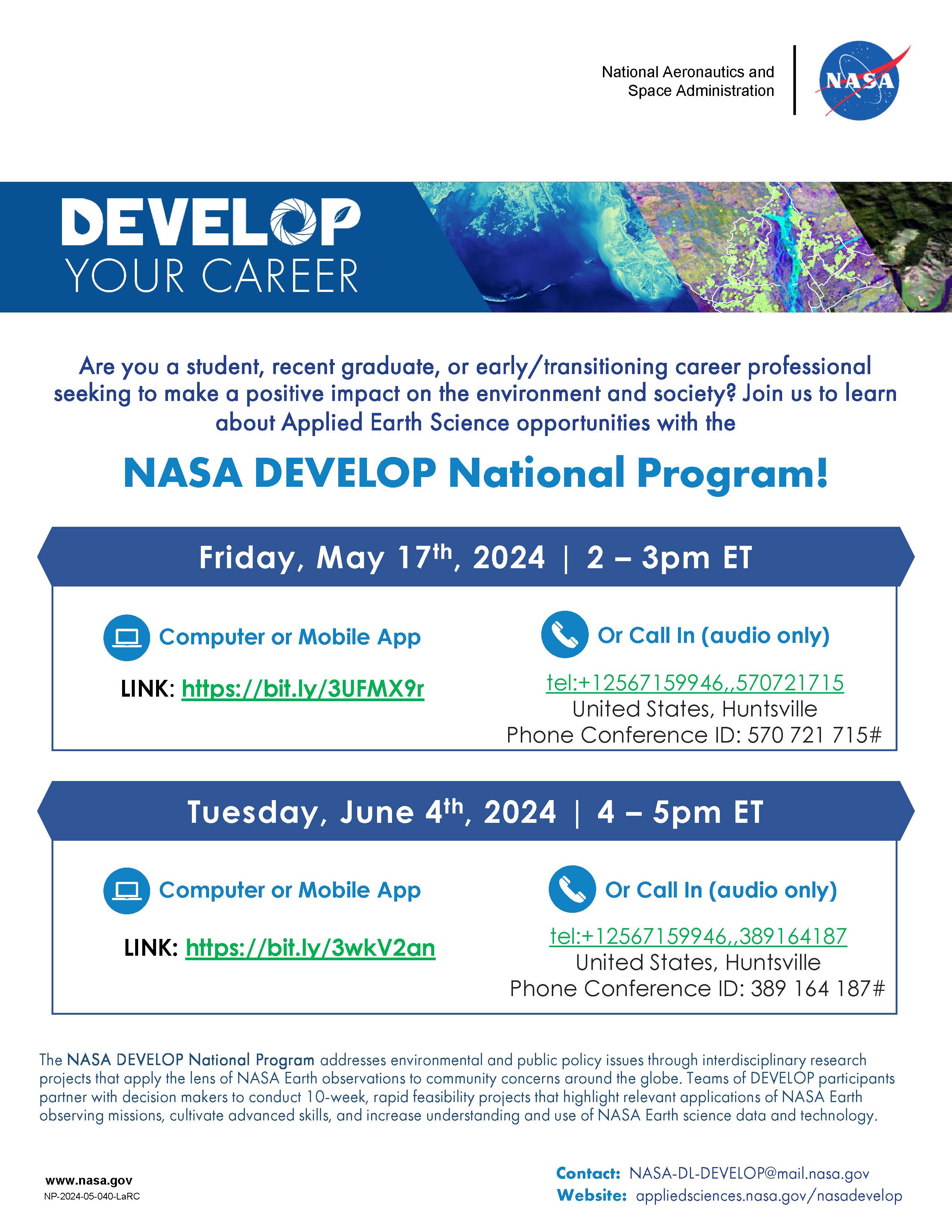
Details about this opportunity and how to apply can be found online at https://appliedsciences.nasa.gov/nasadevelop. The Fall 2024 application window will be open online from May 6th-June 14th, with the term taking place from September 16th-November 22nd. Please note some DEVELOP locations will allow for in-person opportunities while others will be completely virtual. For virtual locations, all accepted participants must work remotely from within the United States. Details on location status are posted on our website.
Virtual “About DEVELOP” webinars will be held on Friday, May 17th at 2pm ET and Tuesday, June 4th at 4pm ET in an effort to provide information about our capacity building program and how potential candidates can apply and participate in the program.