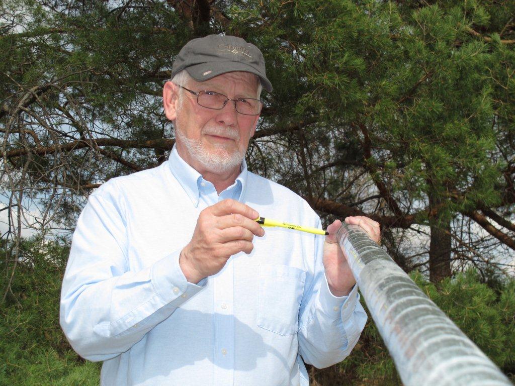
It fuels both bombs and power plants, but uranium probably doesn’t come to mind to many people when they think about Nebraska. Still, it’s there and a University of Nebraska-Lincoln researcher is mapping the aquifers and rock formations that may contain it.
Most of the world’s uranium is mined in Canada, Australia, Kazakhstan, Russia and other locales, yet Nebraska currently has one of the few working, commercial mines in the U.S. where uranium is mined that helps fuel power plants.
The Crow Butte mine, in the northwest reaches of the state’s Panhandle, near Crawford, has produced about 16 million pounds, or 8,000 tons, of uranium extracted from local water-bearing geologic formations since 1991.
The uranium it mines is present as a solid mineral, which is then dissolved with oxygen and pumped out.
In an area of the Panhandle south of that mine, UNL School of Natural Resources hydrogeologist Steven Sibray is using cutting-edge technology to map the shallow High Plains (or Ogallala) Aquifer where the data he and his research partners have collected “Indicates we are also seeing the deeper water-bearing formation at the base of White River Group in the southern Panhandle.
“Our research suggests that commercial uranium mining companies could use this technology to locate uranium bearing sandstones within the deeper formation,” Sibray said, noting that finding the uranium-bearing sandstones is just the first of several high-risk and costly steps needed to find mineable quantities of the mineral.
“Recent advances in the application of airborne electromagnetic [AEM] surveys to our ongoing groundwater management programs can also be utilized to map water-bearing formations that host uranium deposits,” Sibray said.
This AEM data, collected by the U.S. Geological Survey and Nebraska Geological Survey, which is part of UNL’s Conservation and Survey Division, is one part of an ongoing project to define the hydrogeologic framework of the Panhandle’s principal shallow aquifer, what groundwater geologists refer to as the High Plains (or Ogallala) Aquifer, Sibray explained.
“With additional interpretation of these data sets, the deeper confined aquifer of the White River Group can be identified that may contain mineable quantities of uranium,” he said.
The evidence of the potential for uranium mineralization as far south as Cheyenne County, about 90 miles from the Crow Butte mine, is found in radioactive anomalies shown on borehole geophysical logs from oil and gas tests drilled in the area. This information has been a factor in recent decisions by several mining companies to lease land in the southern Panhandle to explore for uranium.
The airborne AEM technology, which relies on identifying water-bearing formations by their electrical resistance compared to surrounding materials, has helped confirm the presence of potential uranium bearing formations in several areas that were previously mapped from more traditional oil and gas borehole tests.
“The airborne geophysics may be sexy, but you need the borehole data first,” Sibray said. “That gives us the ‘dots’ for subsurface mapping while the airborne AEM allows us to connect those dots."
“We use a borehole geophysical tool to measure the same rock properties as the AEM -- how rocks conduct electricity. It’s relatively old technology using electrodes that was developed for the oil and gas industries in the 1920’s. These tools have been updated using modern electronics and computer technology for use in studying aquifers and water-bearing uranium deposits.
“During World War II, engineers developed an electromagnetic tool for locating landmines, which ultimately led to airborne electromagnetic tools after the war that were used by the mining industry to locate metallic mineral deposits,” Sibray explained.
“Recently, the airborne methods have been refined and we can now map aquifers using them,” he said.
The newer AEM methods can also “see” and measure deeper into aquifers than was previously possible, with some systems and is able to map with good results to as much as 500 meters below the earth’s surface.
“Deeper mapping AEM systems would allow mapping of the larger channel deposits of sands and gravels within the White River Group that were formed by rivers approximately 35 to 37 million years ago, Sibray said, noting that the formation exists over most of the Nebraska Panhandle. “Using current AEM technologies, both groundwater and uranium resources can be mapped using technologies that are suitable for the depths and the characteristics of the target.”
Sibray is conducting this research in cooperation with Bruce Smith, Jared Abraham and James Cannia, of the U.S. Geological Survey. He is a geoscientist and hydrogeologist at UNL’s Panhandle Research and Extension Center in Scottsbluff, where for nearly 25 years he has specialized in developing and using reliable, efficient groundwater monitoring systems that help conservationists, land users and researchers.
-- Steve Ress, Nebraska Water Center