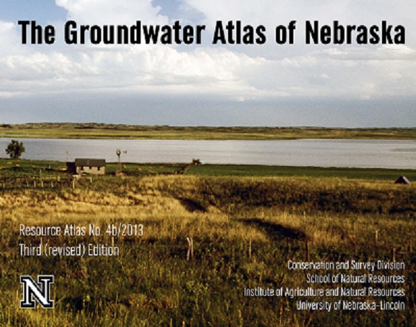
After more than two years of research, writing and editing, the third edition of the "Groundwater Atlas of Nebraska" is complete.
"Rather than just reproduce maps that have been published in the past, we wanted our readers to know that our understanding of groundwater in Nebraska has evolved over the past half-century," said Jesse Korus, survey geologist and lead author/coordinator of the third edition atlas. "In some cases, it has improved substantially. In other cases, things we once thought we knew are now being questioned, and more work is needed to provide accurate and detailed maps on a statewide level."
The atlas is produced by the Conservation and Survey Division (CSD), a multidisciplinary research, service and data-collection organization established by Nebraska state statute in 1921. The CSD also serves as the natural resource survey component of UNL's School of Natural Resources.
Korus and his co-authors created maps, wrote text and compiled and interpreted data for topics that fell within their respective areas of expertise.
"Since the authors have a variety of regularly assigned duties, production of the atlas had to be scheduled around field work, service tasks and other high priority projects," Korus said. "As much as 30 percent of our time was spent working on the atlas."
One of the challenges the authors faced was deciding which topics to include in the latest edition of the atlas.
"Groundwater impacts the lives of Nebraskans in so many ways that we were reluctant to exclude any topic," Korus said. "We focused on our best developed understandings, (which are) those relating to the physical and chemical aspects of groundwater hydrology."
The third edition atlas has several unique editorial features, including an additional twenty maps and diagrams that illustrate aspects of groundwater not covered in previous editions. It also includes new chapters describing the interconnections among groundwater, surface water and the hydrochemical aspects of groundwater.
"Some maps in the third edition show detailed characteristics that were made possible only through the use of digital cartography and computerized geographic information systems," Korus said.
Those technologies were not widely used when the first and second editions were published in 1986 and 1998, respectively. Moreover, the first edition was modeled after a 1966 publication of the same title.
"The previous two editions of the atlas have been among the most popular publications ever produced by the Conservation and Survey Division," Korus said. "They have been used for decades as a general source of information for a wide audience."
That audience includes well drillers, teachers, conservationists, farmers, ranchers and other professionals. The atlas is also a popular resource for training and licensing programs.
"We expect the third edition to be used in much the same way," Korus said. "No one atlas or book can contain everything there is to know about groundwater, but the 'Groundwater Atlas of Nebraska' is a good starting point for someone seeking answers to questions about Nebraska's most valuable natural resource."
"The Groundwater Atlas of Nebraska" is $15 and available for purchase from the Nebraska Maps and More Store on the first floor of Hardin Hall at 33rd and Holdrege streets. The book can also be purchased online at http://nebraskamaps.unl.edu and http://amazon.com. To place an order via phone, call 472-3471.
— Mekita Rivas, Natural Resources
More details at: http://go.unl.edu/ruuh