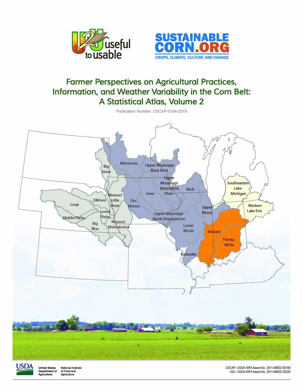
A new atlas maps the behaviors and beliefs of farmers in the U.S. Corn Belt, based on survey research conducted through the Useful to Usable project led by Purdue University, and published in cooperation with the U.S. Department of Agriculture's Sustainable Corn.org. Contributors include researchers at UNL's National Drought Mitigation Center, Tonya Haigh and Cody Knutson.
The maps are based on a 2012 survey of farmers who met certain income and corn production thresholds in 22 watersheds in 11 states. The newly released atlas details information on timing of farming practices and decisions, how and when farmers use weather in decision making, the influence of agricultural advisors, personal experiences regarding weather and risks, beliefs and attitudes regarding climate change, and plans to adapt and manage climate variability and risk.
"This will really help people who are working with farmers," said Haigh, a rural sociologist at the drought center. "We found interesting regional variation in the types of weather and climate decision support tools farmers are familiar with, as well as in the types of risk management practices that farmers are using and considering across the Corn Belt, for example."
The new atlas is the second in a series. The first, released in 2013, presented data on farmer attitudes toward adaptive and mitigative action, farmer beliefs about climate change, farmers' perceptions of risks and experienced hazards, influences of agricultural actors, the capacity of farmers to deal with climate change and weather-related threats, characteristics of the farms surveyed, and general information regarding weather and marginal soils in the study watersheds.
"We're happy to present additional data that came out of a 2012 survey of Corn Belt farmers in this atlas, the second in this series," said Sarah Church, postdoctoral research associate at Purdue University. "We mapped farmer survey responses by watershed. It's a great way to show variations and similarities of farmers' decision making, their farming practices, and their thoughts on climate and weather, across the region."
The atlases are intended to be of use to educators and advisers who work with farmers in Corn Belt states. They are available online: https://purr.purdue.edu/publications/
More details at: https://mygeohub.org/groups/u2u