With the help of a new high-tech data server, High Plains Regional Climate Center clients now have quick access to real-time and archived observational and modeled datasets for a number of environmental variables, including climatological and meteorological observations.
From 9 to 11:30 a.m. Monday, March 25, the center will host a training session in Hardin Hall 142 for University of Nebraska-Lincoln faculty, staff and students interested in utilizing the data. Workspace is limited, so those interested should reserve a spot via email to Natalie Umphlett, HPRCC regional climatologist, at numphlett2@unl.edu.
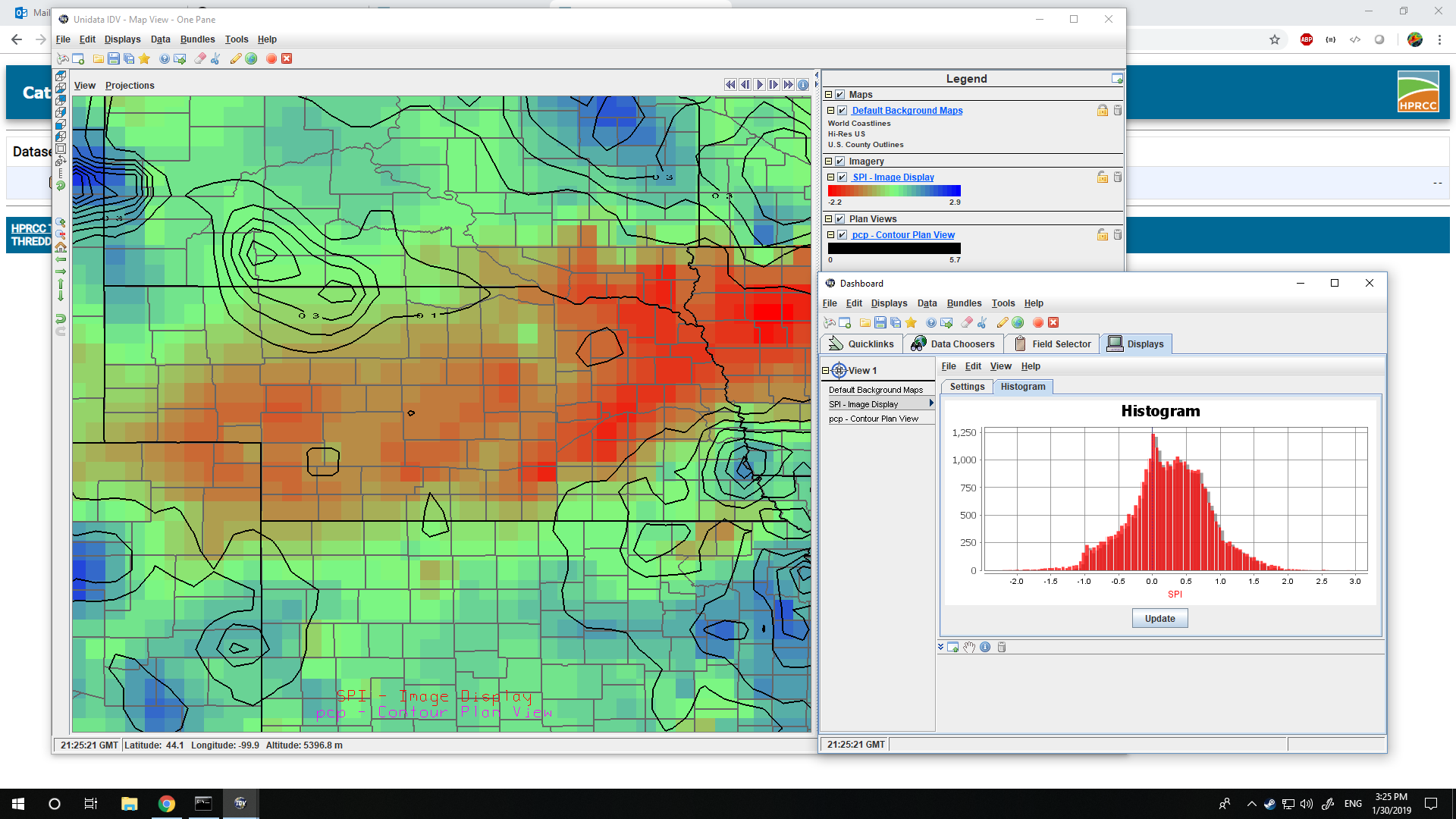
Workshop participants will learn the about the THREDDS Data Server capabilities and will get hands-on experience accessing and displaying available data, Umphlett said.
“Although the workshop will be focused on climate, the skills you will acquire may be used to access any of the THREDDS Data Servers worldwide,” she said. “The data itself isn’t new, but users will access the data in a different way.”
The THREDDS servers, or Thematic Real-time Environmental Distributed Data Services, are provided by Unidata, a National Science Foundation-funded program dedicated to providing weather data to university educators and researchers. With this server, the HPRCC joins a short-list of about 68 other university, agency and federal government groups around the world to operate publicly accessible servers, including five Big 10 schools: Rutgers University, Iowa State University, the University of Maryland, the University of Wisconsin-Madison, and Pennsylvania State University.
“We are joining a diverse group of gridded data providers,” said Warren Pettee, HPRCC applications programmer. “It’s exciting that HPRCC datasets will be a part of this community.”
Users will be able to download the data values for all points in a collection, run a calculation and end up with representative value of the space he or she is looking at; previously, users had to pick the closest available data point for use in research.
“This is interpolated, gridded data down to an 8th of a degree (latitude),” Pettee said. This is the first time data in this format will be offered in the Applied Climate Information System, a framework designed by the National Oceanic and Atmospheric Administration’s Regional Climate Centers to manage the flow of climate information to users. “People will be surprised by how easy it is to use the data.”
Natural Resources
More details at: https://go.unl.edu/k2wm