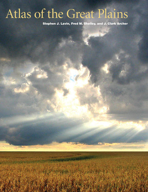
Creating the “Atlas of the Great Plains” is the topic of the Nov. 16 Paul A. Olson Seminars in Great Plains Studies. UNL geography professor J. Clark Archer and his co-author Fred M. Shelley, professor of geography at the University of Oklahoma, will discuss the purpose, documentation, and final publication in a seminar from 3:30 to 5 p.m. in the Great Plains Art Museum. The seminar is free and open to the public.
The Great Plains is anything but drab and uniform, and the authors of the “Atlas,” including the late Stephen J. Lavin, set out to prove that. The result is a cartographic and textual report on the geographic and historical exploration of the North American Great Plains region from the Rio Grande to the Canadian Prairie provinces and spanning human occupation of the region from pre-Columbian times to the present.
The “Atlas,” which showcases Lavin’s outstanding cartographic talents, is the first to document the diversity and excitement of the entire region in more than 300 full-color maps. Lavin was a professor of geography at UNL. UNL geography professor David Wishart wrote the foreword, and John C. Hudson, professor of geography at Northwestern University, wrote the introduction. The book was published this summer by the University of Nebraska Press. A reception and book signing will follow the seminar presentation. The “Atlas” will be available for purchase at the seminar.
Lavin, Archer, and Shelley are also co-authors of the “Historical Atlas of U.S. Presidential Elections, 1788-2004” and the “Atlas of American Politics, 1960-2000.”
The Olson seminars are presented by the Center for Great Plains Studies at UNL. For more information or accommodation, contact the center at 402-472-3082 or visit http://www.unl.edu/plains.
- Linda Ratcliffe, Center for Great Plains Studies
More details at: http://go.unl.edu/yun