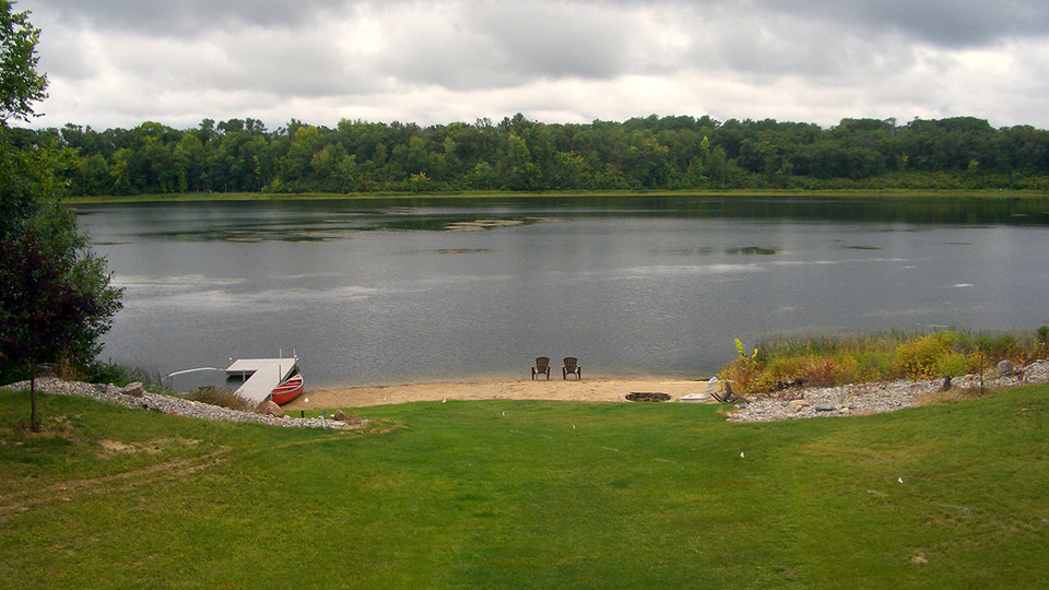
What colors make up your winter landscapes — shades of brown, green or gray? If out and about Presidents Day weekend, Feb. 15-17, consider taking photos to be part of the Visual Drought Atlas of the United States.
These photos will show how landscapes look at different times of year in dry, wet and normal conditions. This can serve many purposes, including helping assess drought conditions.
The Visual Drought Atlas at the National Drought Mitigation Center builds on photos collected via the Field Photos project, conducted by the Community Collaborative Rain, Hail and Snow Network and the South Central Impacts Planning Program. Although photos can be submitted any time, collecting photos over key holiday weekends — Presidents Day, Memorial Day, July 4 and Labor Day — provides some consistency to the atlas.
“Citizen scientists can help collect a lot more data — landscape photos, in this case — than we could come up with on our own,” said Kelly Helm Smith, assistant director of the drought center. “The Visual Drought Atlas will create a shared understanding of different landscapes, and how places do and don’t change over time. We also want a record of what different places look like in wet, dry and normal years.”
To upload up to five photos, click here. Here are some tips for submitting them:
- Tell us where you are: Position the marker on the map for your location using one of three methods: 1) Click on the round compass icon and allow access to your location. 2) Enter an address or the name of a place in the search window. 3) Drag the map until the marker points to the correct location. Be sure to use the plus or minus if you want to zoom in or out after you have placed the marker, because scrolling will move the marker.
- Help us QC: The “Select your state and local jurisdiction” box below doesn’t position the marker but it will tell us if something has gone wrong in the previous step.
- When were the photos taken?: Photos should be from a single day, but you can fill out the form more than once if you’d like to submit photos from different days.
- How dry or wet is it?: Use the seven-point scale to rate conditions from severely dry to severely wet.
- Land use: Tell us what we’re looking at, using one of the checkboxes or “other.”
- Upload photos: You can upload up to five photos of up to 10MB each, if you are the photographer or have permission to share the photo. Please be sure to use the description field below for credit and caption information: Who took the photo, what is the location, what is the date, what direction is the camera facing, and what is it showing? By uploading a photo, you agree that it may be used and shared for educational and management purposes.
- Tell us more: Please provide a description or caption that lets us know what we should be seeing.
- Contact info: Please provide your name and email address in case we need to contact you for more information. We won’t display your email address.
More details at: https://survey123.arcgis.com/share/bccca16d93df472590566e744b67ad8e