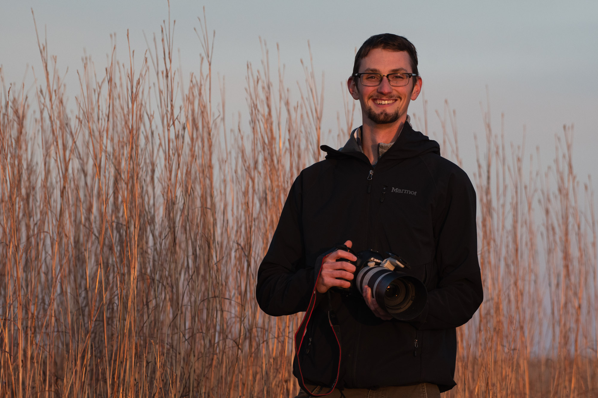
Over four years ago, when Ethan Freese was an undergraduate student in the School of Natural Resources, he interned with Platte Basin Timelapse. As a current master’s student in applied science and science communication, Freese continues to chase his passion for science, storytelling and prairies alongside the Platte Basin project.
“I don’t think you can really appreciate the prairie unless you kind of immerse yourself in it for a while and just kind of slow down and look at things closely,” Freese said. “Pay attention to the little details—the flowers and little insects, see how it changes throughout the year.”
The tallgrass prairie once covered 142 million acres, or about 40%, of the United States. Today, there is but 1% left -- making it one of the rarest and most endangered ecosystems in the world.
Freese continues to work with the time lapse project to gather photos, videos and audio along the Prairie Corridor on Haines Branch, a tallgrass prairie restoration project that will connect south Lincoln to the Spring Creek Audubon Center at Denton. The project aims to restore 7,800 acres of prairie along the Haines Branch of the Salt Creek and build in trails and exploration hotspots like Conestoga Lake, Denton Prairie and Bobcat Prairie.
Freese has three time lapse cameras set up throughout the across the expansive Bobcat Prairie. The cameras installed at various sites take a photograph every daylight hour of every day. He’s documenting prescribed burns, seedling emergence, livestock grazing and prairie regrowth. The first camera is set up on a prairie restoration, and another is set up at the site of a prescribed burn to show prairie regrowth after using fire as a range management tool. The third time lapse camera captures seeding methods for grassland restoration.
Freese documents important land management practices from the Bobcat Prairie to Spring Creek Prairie to show how the restoration progresses and plant communities change over time from weeds to grasses and forbs.
Aside from the time lapse photography, Freese also utilizes camera traps, which are motion triggered to get photos of various species on the prairie such as birds, beavers and coyotes. He also captures audio of the prairie during each season.
Freese will ultimately compile all of the multimedia into a story map, or an interactive map that incorporates his photo, video and audio documentation. The story map will be linked on the Prairie Corridor website for the public to experience the prairie.
Freese hopes that people within the Lincoln community utilize his story map as an opportunity to explore and experience the Prairie Corridor and learn about basic grassland ecology.
“The main goal of this project provides an educational tool about the diversity that’s out in these prairies and some of the land management practices used to restore the grassland,” Freese said.
Freese’s project may attract young people looking to move to Lincoln and show them that we value our natural resources. Just as important, his work will help landowners and managers strategize effective and economical approaches for managing the rare tallgrass prairie ecosystem.
Aside from his own personal project, Freese oversaw four undergraduate students doing research projects on the Prairie Corridor last summer.
Grace Schuster, a Fisheries and Wildlife major, is studying bird communities on the tallgrass prairie. Schuster and Freese chose a variety of sites of differing acreage size throughout the Prairie Corridor. They’d go to the sites each morning and record all of the bird species they saw or heard. The main goal of her project is to get a basic idea of which birds are using which part of the prairie, and to see if the size of the prairie has an effort on the type of bird community there. She noticed that there are different bird species compositions between bigger prairies of several hundred acres, such as Pioneer’s Park and Spring Creek Prairie, versus smaller prairie that have fewer acres.
Elizabeth Park, an Environmental Studies major is experimenting with various grassland restoration methods on Bobcat Prairie. Park, Freese and other team members tried two different methods, a high-diversity plant seed mix that was simply broadcast out, and a mid-diversity seed mix that was drilled directly into the soil, specifically tailored towards pollinators. This experiment will help the team see how the seeding methods differ or not, and which is the best process to use moving forward for other restoration projects and land managers.
Hunter Brophy, an Entomology major, is studying insect communities to see how grassland management impacts species.
Phuong Minh Tu Lee, an Environmental Restoration Sciences and Fisheries and Wildlife double major, is studying stream ecology by looking at nutrient flow throughout the Haines Branch of Salt Creek.
The experiment at Bobcat Prairie is being conducted under Katharine Hogan, a doctoral student with the Nebraska Cooperative Fish and Wildlife Research Unit.
“Ultimately, I think the potential of our work within the Prairie Corridor is integrating these focus areas to see how different aspects of the ecosystem are influencing each other to get a broader understanding of the tallgrass prairie,” Freese said.
View the latest Platte Basin Timelapse video here: https://vimeo.com/397517882
Natalie Jones, IANR Communications