by Ronica Stromberg
Dan Uden stood on the back of a planter, cleaning out soybeans from it, when the life-altering call came on his cell phone. The caller asked if he wanted to go to graduate school. Uden realized he was at a fork in the road (or field, as it was). He could continue pursuing life as a farmer or choose to further his education.
Like the poet Robert Frost, Uden then chose the road less taken (at least for farmers on the backs of planters). He left the farm to earn his master’s and doctorate degrees at Nebraska in 2012 and 2017. He now works as a tenure-track professor in the School of Natural Resources and the Department of Agronomy and Horticulture. The four classes he teaches draw students from both departments.
Uden has street creds with these students. Well, more accurately, he has beef creds, soybean creds and corn creds. He grew up on a soybean and corn farm in Nebraska and researches and teaches how to keep cattle and rangelands resilient.
When people ask where he grew up, he says, “Kenesaw-Prosser-Wood River area,” naming three small towns in south central Nebraska. That’s what you do when you grow up in in-the-middle-of-everywhere Nebraska. Farm creds.
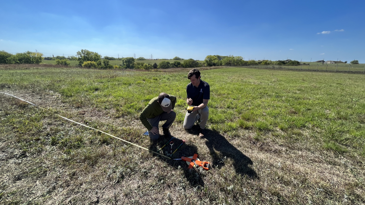
Not that Uden couldn’t give the GPS coordinates for the farm he grew up on. He does, after all, have extensive experience working with land tools such as GPS, remote sensing and geographic information systems. He earned his bachelor's degree at Concordia in Seward, Nebraska, and the work he did there with GIS garnered the graduate school offer and set him on the trajectory to become a resilience spatial scientist.
As a resilience spatial scientist, he researches rangelands through the Center for Resilience in Agricultural Working Landscapes and an EPSCoR project funded at the University of Nebraska-Lincoln and University of Montana-Missoula through the National Science Foundation.
In the center project, he and other scientists are testing the effects of prescribed burns and rotational grazing on four pastures at the Barta Brothers Ranch in the Rose-Bassett-Long Pine area.
He also is working with a doctoral student, Catherine Chan, on comparing vegetation on the ground to high-resolution, hyperspectral imagery collected by an airplane and to data collected by a NASA satellite. They plan to map the different groups of plants on the landscape, producing a tool ranchers and land managers can use.
The project has similarities to the Nebraska-Montana EPSCoR project Uden works on. In that project, he and other scientists use a new technology, resilience informatics, to track vegetation changes on the land, such as from grasslands to woodlands.
Read the rest of the story at:
More details at: https://ianrnews.unl.edu/uden-researching-and-teaching-spatial-tools-equip-land-managers