The most recent Nebraska Statewide Groundwater-Level Report from the Conservation and Survey Division (CSD) in the School of Natural Resources at the University of Nebraska-Lincoln reports that groundwater levels in the eastern half of Nebraska continued to decline following several years of persistent drought. Statewide, groundwater levels declined on average 0.52 feet in the spring of 2024 even though precipitation was above average in the western half of the state. Despite these declines, Nebraska still has significantly more groundwater than the other states atop the critical High Plains aquifer system.
Variations in groundwater levels and precipitation are intimately linked. Precipitation is the main source of aquifer replenishment (recharge) in Nebraska, partially replacing water removed from the ground for irrigation and domestic use. Hotter and drier growing seasons result in a greater need for irrigation while also providing less water for recharge. Both effects can cause a decline in groundwater levels. However, years with above-average precipitation provide more water for groundwater recharge and typically less pumping for irrigation. These effects generally cause a rise in groundwater levels.
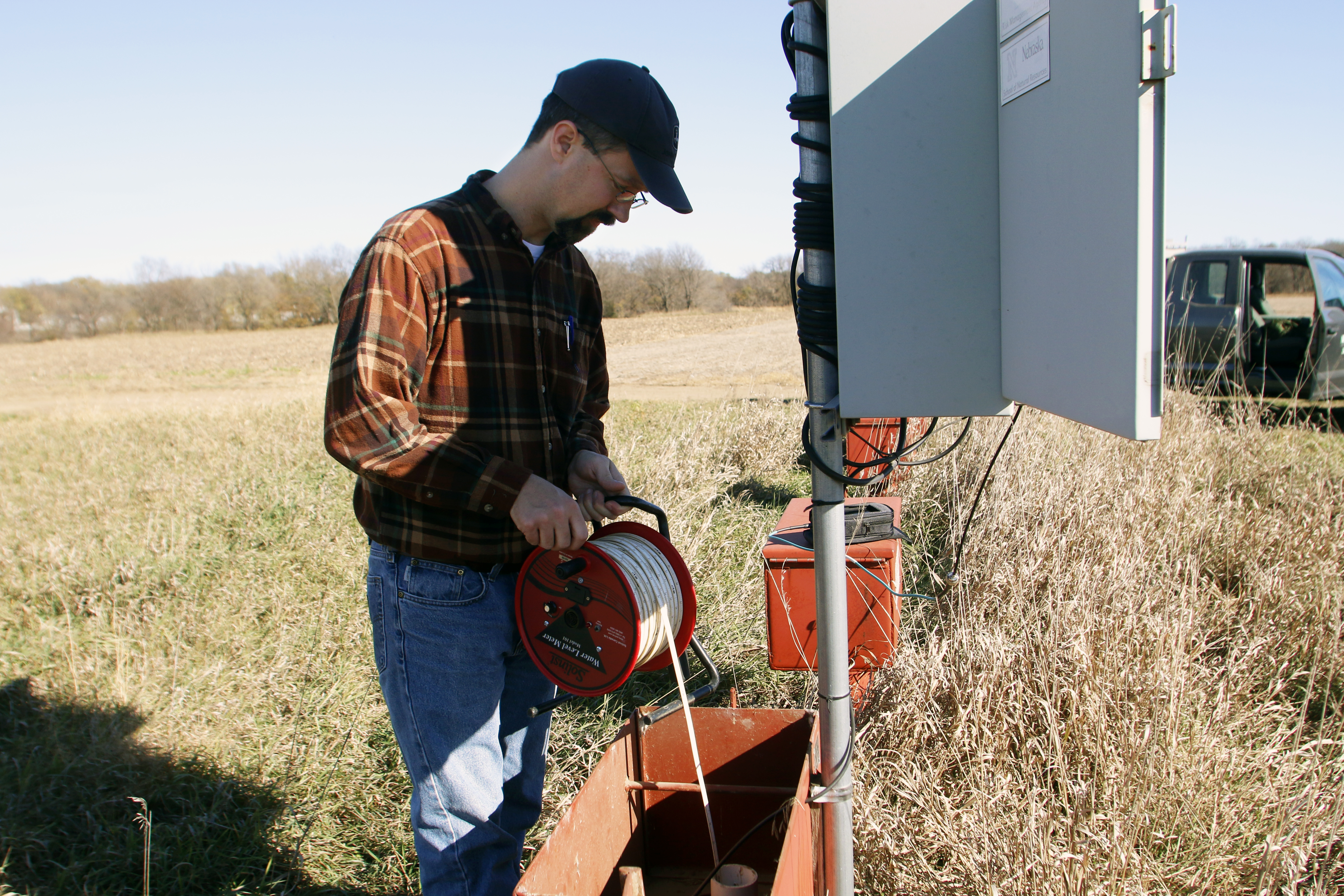
Nearly 5,000 wells were measured consecutively in the spring of 2023 and the spring of 2024 to monitor changes in groundwater levels in Nebraska. Sixty-one percent of wells measured recorded a groundwater-level decline in the spring of 2024. The largest declines, exceeding 10 feet, occurred the eastern half of Nebraska, where precipitation was generally below average during the same period. Much of Nebraska experienced some level of drought for most of the preceding five years. However, easing drought conditions during the 2023 growing season in western Nebraska drove local rises in groundwater levels.
Nebraska has more than 99,000 active irrigation wells providing water to support our thriving agricultural economy. Pumping water from our aquifers from a vast number of wells can be detrimental to the long-term sustainability of our water resources. However, Nebraska is fortunate to have a nation-leading system of groundwater management by virtue of its 23 Natural Resources Districts (NRDs). The NRDs regulate groundwater with comprehensive regional management plans that undergo periodic updates. Nevertheless, recent and long-term groundwater-level declines in some parts of the state are concerning. Some wells in these areas may eventually go dry or need to be drilled deeper.
The annual report’s long-term change maps—spanning pre-groundwater-irrigation times to the present—verify the overall abundance of groundwater in Nebraska. Nevertheless high-magnitude local changes in groundwater levels, from declines exceeding 130 ft to rises exceeding 120 ft, have also been apparent in successive iterations of the same map. To be sure, groundwater levels in most of Nebraska have experienced a net change of less than 20 feet since predevelopment times. Parts of Chase, Perkins, Dundy and Box Butte counties, in contrast, have experienced major, sustained declines in groundwater levels due to a combination of factors. Irrigation wells are notably dense in these counties, annual precipitation is comparatively low, and there is little or no surface-water recharge to groundwater there.
The CSD report was authored by Aaron Young, Mark Burbach, Susan Lackey, R. M. Joeckel, and Jeffrey Westrop.
A free PDF of the report can be downloaded at https://go.unl.edu/groundwater. Printed copies can be purchased for $7 at the Nebraska Maps and More Store, 3310 Holdrege St., and Phone orders are also accepted at 402-472-3471.