Using airborne electromagnetics, the Conservation and Survey Division, Nebraska’s Geological Survey, discovered ancient, buried valleys below the surface of the Earth in southeast Nebraska. The buried valleys form a complex network of overlapping and cross-cutting sedimentary deposits, affecting the region’s aquifers and streams. New maps generated from the information can be used to help predict how groundwater flows in the area and could have an impact on how water supplies are managed.
The study, conducted by CSD’s Jesse Korus, Matt Joeckel and Dana Divine in southeast Lancaster County, created a 3-D model of Pre-Illinoian glacial deposits, or those created more than 640,000 years ago when glaciers passed through what is now the Central Lowlands of the U.S. and Canada.
“Airborne electromagnetic surveys are on the forefront of groundwater research,” said Korus, a hydrogeologist. The technology has been used in mining for decades, but “its application to aquifers is a new development, and no one has used it to study buried valleys in Pre-Illinoian deposits. This is the first demonstration of it.”
“Fundamentally, we are trying to understand why aquifers are so variable and why they seem to occur randomly below the surface,” Korus said. “With this research, we are beginning to understand that there is indeed an order to the complexity.”
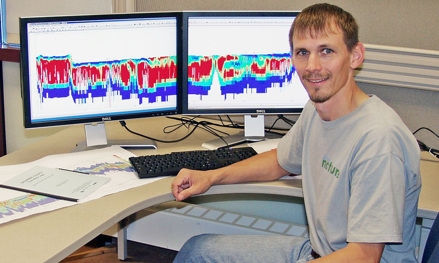
Traditional borehole drilling doesn’t work well for mapping buried valleys because it is too time-consuming and expensive. So the team, including Nebraska’s NRDs and the U.S. Geological Survey, used a helicopter to tow an electromagnetic tool to record the electrical properties of the subsurface. Clay, which is electrically conductive, registers as blue, for example; sand and gravel red.
This method was able to collect extremely detailed information 60 meters deep along lines 280 meters apart. Limitations in resolution, though, still left a gap in data, requiring the use of bore hole and water well data collected along the same flight line.
“We see as many as six generations of valleys in this area, overlapping in complex ways,” Korus said. “This pattern has relevance in predicting how groundwater flows in the area. Groundwater availability depends on the nature of the sediment fill. Some buried valleys contain fine sediments that act as barriers to groundwater flow. Other valleys act as hydraulic windows, allowing water to flow from the land surface to deep aquifers below. The geology is directly related to the sustainability of the resource.”
Airborne electromagnetic surveys have created a surge in data collection for the region, which has the potential to be useful for water management decisions, Korus said.
The team from CSD has submitted a proposal to expand this work to other areas of Nebraska. The focus will be on the cost-effectiveness of airborne electromagnetics and on how the underground maps can be used plan for water development and management.
The research was published in Sedimentology, the journal of the International Association of Sedimentologists, and is available online here.
The Conservation and Survey Division (Nebraska Geological Survey), is the natural resource survey component of the School of Natural Resources. The division’s mission is to investigate and record information about Nebraska's geologic history, its rock and mineral resources, the quantity and quality of its water resources, land cover and other aspects of its geography, as well as the nature, distribution and uses of its soils.
-- Shawna Richter-Ryerson, Natural Resources. CSD contributed to this report.
More details at: http://snr.unl.edu/csd/