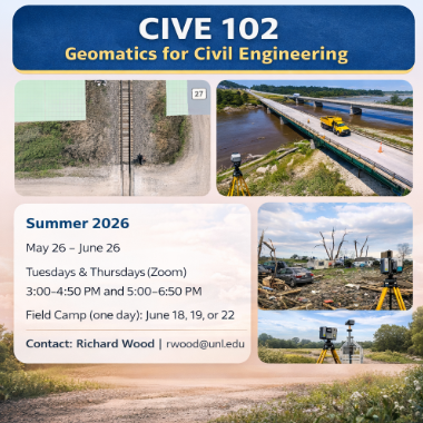
This course provides an introduction to measurement theory and geospatial data applications in civil engineering. Students will gain experience with elevation, distance, and location measurements using modern tools such as total stations, GNSS, and GIS platforms. The course is project based and designed to provide practical, applied skills.
Summer Session: May 26 – June 26
Course format and schedule:
-Meets Tuesdays and Thursdays via Zoom
-Two sessions per day: 3:00–4:50 PM and 5:00–6:50 PM
-Includes one required in-person field camp day (June 18, 19, or 22) near Yutan, Nebraska
This course is particularly beneficial for students interested in surveying, geomatics, remote sensing, and field-based data collection.