Archived Story: This article is part of our newsletter archives. It has
been preserved for reference, but the information may no longer be current.
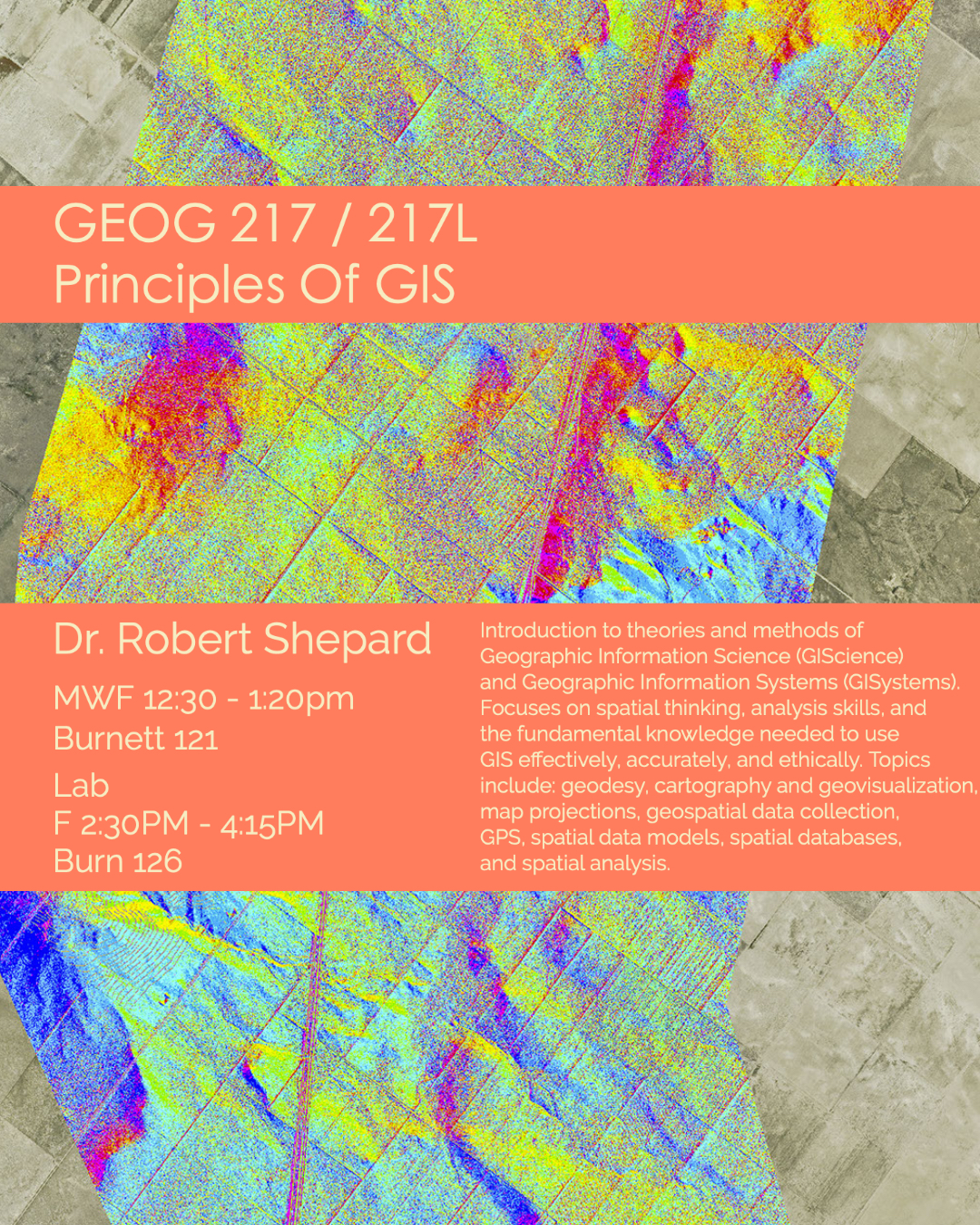
Introduction to theories and methods of Geographic Information Science (GIScience) and Geographic Information Systems (GISystems). Focuses on spatial thinking, analysis skills, and the fundamental knowledge needed to use GIS effectively, accurately, and ethically. Topics include: geodesy, cartography and geovisualization, map projections, geospatial data collection, GPS, spatial data models, spatial databases, and spatial analysis.