By Ronica Stromberg
School of Natural Resources professors looking for a way to bring their research alive often need look no further than Room 321. There, Ian Ratcliffe offers 20 years of experience working with remote sensing and geographic information systems to manage and analyze data and help create maps using it.
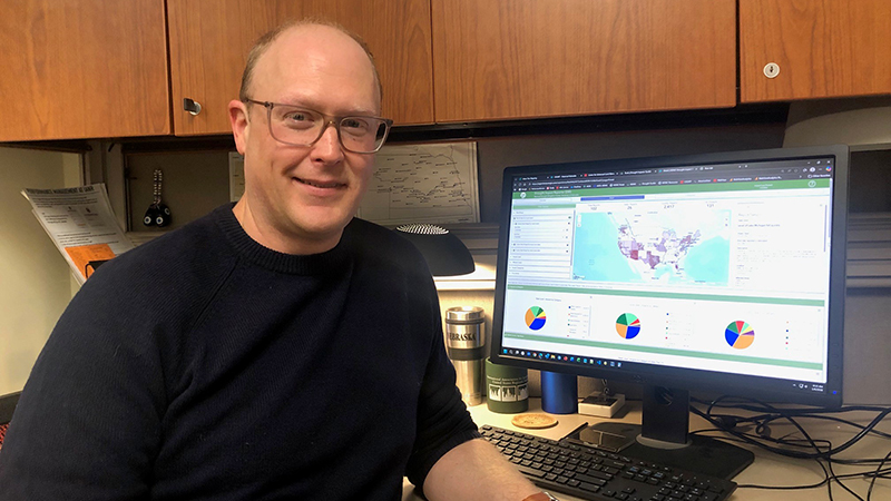
Ratcliffe has used ArcGIS Pro and ArcGIS Online to create websites like Historical Nebraska including interactive maps and to develop tools used on the National Drought Mitigation Center website. He has used the Python programming language to better automate map functions on the drought center’s website. He has used Environment for Visualizing Images software in his remote sensing work. Most recently, he has been using ArcGIS Online and Google Earth Engine to help professors Daniel Uden and Andy Little track ringneck pheasant populations in Nebraska.
Ratcliffe said his favorite parts of his job are working with spatial data, creating maps and finding solutions to data problems.
“For the drought center, usually, I'll get a request of, can we do something, or is this possible? And then I will try and figure out how to make it work,” he said. “Those types of challenges make the job interesting and satisfying.”
Right now, he is working half-time with the National Drought Mitigation Center and Kelly Smith, the center’s assistant director. The other half of his time goes toward the ringneck pheasant project. Although his supervisor is Brian Wardlow, the director of the Center for Advanced Land Management Information Technologies, Ratcliffe has performed work for several professors and outside agencies. Wardlow said professors and agencies interested in working with Ratcliffe for technical support, application development or training in remote sensing or GIS can contact either him or Ratcliffe.
“A notable strength of Ian's is his ability to effectively communicate and understand the geospatial needs of a project and deliver timely and quality results,” Wardlow said. “He also has a unique set of technical skills in both remote sensing and GIS, which are areas that many people specialize in one or the other.”
Ratcliffe’s role supports the mission of the Center for Advanced Land Management Information Technologies to advance and develop remote sensing and GIS across the university in research, education and practical solutions using geospatial information, Wardlow said.
Ratcliffe serves as the state coordinator for NebraskaView, the state part of the AmericaView consortium the United States Geological Survey funds to support the use of remote sensing in research and education. NebraskaView helped support his work with Hugh Ellerman to create the Urban Tree Mapping website in ArcGIS.
Ratcliffe said he sees much value in the ArcGIS software the university offers freely to the staff. When he uses it to create the tools on the Drought Impacts Toolkit webpages, researchers then use those tools to make weekly drought maps and communicate data to policymakers and the public. He said university professors and researchers could also use the software for database management, database development and data backup.
Ratcliffe began work at the university as a geography student interning at the Center for Advanced Land Management Information Technologies. He continued with this CALMIT work while earning his master’s degree in geography and after graduating. Now he said he sees advantages to hiring staff members to do the work he does rather than students. He can continue to update projects and data, has a memory of what has been done and what needs to be done, has knowledge of the university system and whom to approach with questions and is generally more efficient, able to get to projects quicker and finish them sooner.
“I like to complete tasks in a timely manner,” he said. “I understand professors sometimes have time-sensitive projects or tasks, and I take pride in getting things done when they’re needed.”
He said he sees great potential and possibilities for applying remote sensing and GIS technology to wildlife projects and would be interested in such work.
“I have a lot of experience working with spatial data,” he said. “I have a good view of what’s possible and believe any projects with a spatial aspect could benefit from these types of data visualization applications. I would be happy to discuss with or provide a demonstration application for anyone interested.”