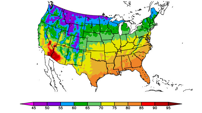
The geographic data behind the High Plains Regional Climate Center’s best known product, its rainbow-colored precipitation and temperatures maps, is now available to users through a GIS portal on their website.
Since 2003, maps depicting precipitation and temperature — over a variety of time frames and in comparison to the previous 30 years of data — have been available for download, but shapefiles haven’t.
That changed in late September, when the GIS portal went live. Users can now download shapefiles as filled contours or as point data.
“For years, people have asked us for shapefiles, but we weren’t able to provide them,” said Natalie Umphlett, regional climatologist with the HPRCC. “Now, they can download the data for research applications, climate and drought monitoring, or simply for their own interest. The possibilities are truly endless.”
To make available the shapefiles, Warren Pettee, applications programmer with HPRCC, wrote new software capable of delivering the data. That data can be imported into QGIS and into ArcGIS, among other geographic information systems programs; saved; and refreshed daily with current data.
Interested users also can download individual files for over 500 map options that are available.
The maps themselves are produced daily using data from the Applied Climate Information System, which acts as a data portal for all climate observations gathered at thousands of stations throughout the country.
“ACIS maps request over 10 million pieces of data a day from ACIS web services,” said Bill Sorensen, software development specialist with the HPRCC. “Doing some spitball math, the number of accesses of a daily value for any variable per day for the ACIS maps is easily over 1 billion.”
So when users go to download the shapefiles, computers on this end have churned through that data and turned it into an easily downloadable and usable format.
“The ability to download the data and create customized maps will allow our stakeholders to communicate the information within their sector in a more personal way,” said Crystal Stiles, applied climatologist with the center. “They can also overlay the climate data with their own datasets to provide a deeper analysis of conditions that can help with monitoring, planning, and decision-making.”
Although the Regional Climate Center will create shapefiles for all ACIS Maps going forward, these will not replace the 250,000+ current and archived maps that are already available through the ACIS Maps page on the center’s website.
The project was funded by the National Integrated Drought Information System, a National Oceanic and Atmospheric Administration program authorized by Congress in 2006.
The High Plains Regional Climate Center is one of six Regional Climate Centers providing climate services to the nation. It covers Colorado, Kansas, Nebraska, North Dakota, South Dakota, and Wyoming, and operates as a part of the School of Natural Resources at the University of Nebraska-Lincoln.
Shawna Richter-Ryerson, Natural Resources