NASA DEVELOP National Program
What is DEVELOP?
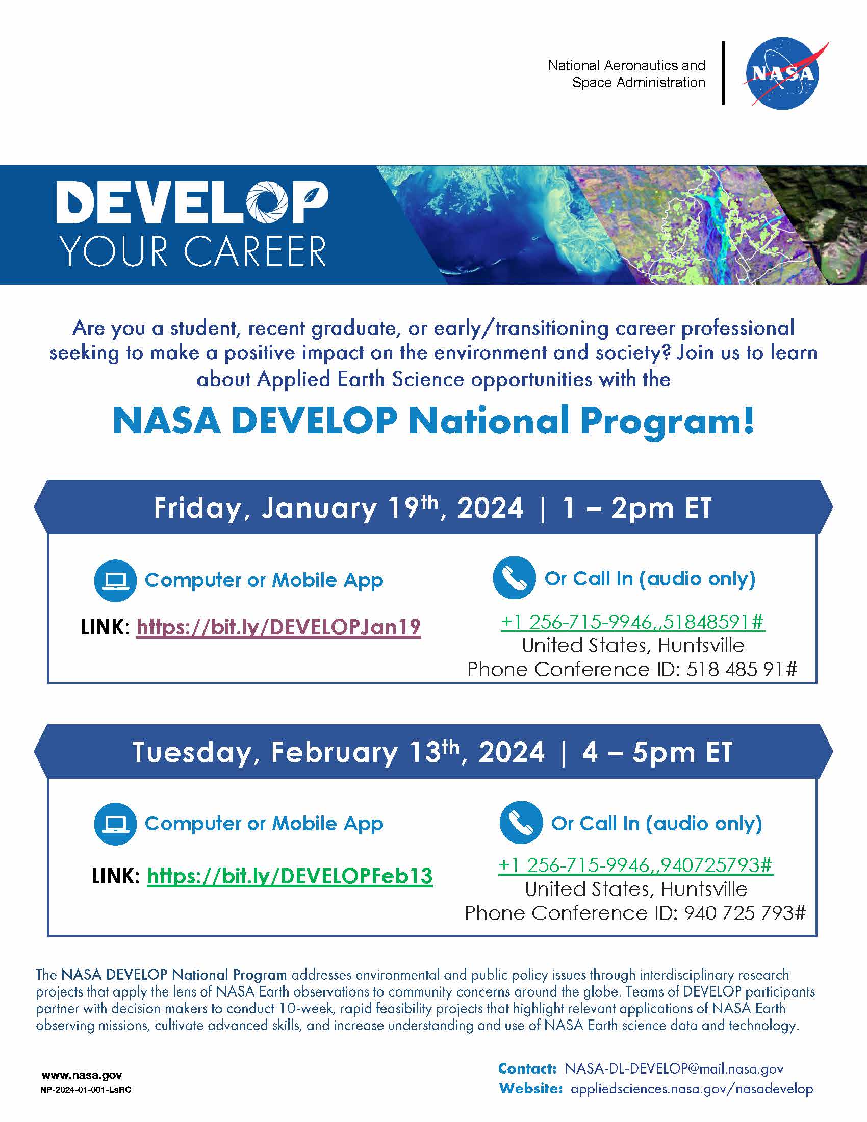
DEVELOP addresses environmental and public policy issues through interdisciplinary research projects that apply the lens of NASA Earth observations to community concerns around the globe. Bridging the gap between NASA Earth science and society, DEVELOP builds capacity in both participants and partner organizations to better prepare them to address the challenges that face our society and future generations.
Teams of DEVELOP participants partner with decision makers to conduct rapid feasibility projects that highlight relevant applications of Earth observing missions, cultivate advanced skills, and increase understanding of NASA Earth science data and technology.
Participant Opportunities
Both In-Person & Virtual Opportunities:
» Conduct a 10-week feasibility study w/guidance of DEVELOP Advisors
» Learn to apply Earth observation and geospatial data
» Close daily collaboration with team members
» Engagement with a decision-making partner organization
» Creation of a set of deliverables that communicate the project’s methods and results
» Professional development opportunities & building of “soft” skills
Additional In-Person Opportunities:
» In-person tours, field trips, and meetings
» Access to a variety of onsite resources
» Enhanced team building and networking opportunities
Additional Virtual Opportunities:
» Ability to participate when you are not geographically near a DEVELOP location
» Increased flexibility in the virtual environment (ex. no commute)
About Projects
DEVELOP projects apply Earth observations and remote-sensing technology to application areas that highlight NASA Earth observation capabilities relative to environmental issues for enhanced policy and decision making. These areas include:
- Agriculture
- Climate
- Disasters
- Ecological Conservation
- Energy
- Health & Air Quality
- Urban Development
- Water Resources
- Wildland Fires
Project Example
Cincinnati & Covington Urban Development II: Assessing Flooding and Landslide Susceptibility Along the Ohio-Kentucky Border
Landslides and flooding are reoccurring environmental hazards that lead to health risks and economic burdens in the urban areas of Cincinnati, Ohio and Covington, Kentucky. Working with partners from Groundwork USA and Groundwork Ohio River Valley, the NASA DEVELOP team used satellite imagery and ancillary datasets to map landslide susceptibility and exposure, as well as identify pluvial flood vulnerability in the region. The team’s refined methodology and hazard analyses provided partners with tools to expand environmental justice awareness and build capacity for city-specific resilience planning.
“NASA DEVELOP helped us translate [landslide and flood susceptibility analyses] to frontline communities facing high climate vulnerability.”
- Sarah Morgan, GIS & Spatial Data Analyst, Groundwork Ohio River Valley
How To Apply
Anyone 18 and over, who is interested in pursuing experience in the Earth sciences and remote sensing, is welcome to apply. This includes currently enrolled students, recent college graduates, early and transitioning career professionals, and current and former U.S. Military service members. Applicants must have a minimum 3.0 GPA on a 4.0 scale at their current or last institution of higher learning.
Apply online at https://appliedsciences.nasa.gov/nasadevelop. The Summer 2024 application window is now open and closes February 23, 2024. at 10:59 pm CST.
Have Questions?
Please contact us with any questions about the program at NASA-DL-DEVELOP@mail.nasa.gov.